Doharpar
Doharpar is a village in Ranaghat I, Nadia, West Bengal. Doharpar is situated nearby to the town Birnagar, as well as near Phulia.| Tap on a place to explore it |
Places of Interest
Highlights include Habibpur railway station and Kalinarayanpur Junction railway station.
Habibpur railway station
Railway station
Habibpur railway station is a railway station of the Kolkata Suburban Railway system and operated by Eastern Railway. It is situated at Mahishya para, Raghabpur, Habibpur on the Ranaghat–Shantipur line in Nadia district in the Indian state of West Bengal.
Kalinarayanpur Junction railway station
Railway station

Photo: Pinakpani, CC BY-SA 4.0.
Kalinarayanpur Junction railway station is part of the Kolkata Suburban Railway system and operated by Eastern Railway. It is located on the Ranaghat–Krishnanagar line in Nadia in the Indian state of West Bengal. Kalinarayanpur Junction railway station is situated 4 km east of Doharpar.
Birnagar railway station
Railway station

Photo: Pinakpani, CC BY-SA 4.0.
Birnagar railway station is part of the Kolkata Suburban Railway system and operated by Eastern Railway. It is located at Birnagar on the Ranaghat–Krishnanagar line in Nadia district in the Indian state of West Bengal. Birnagar railway station is situated 4 km northeast of Doharpar.
Places in the Area
Nearby places include Birnagar and Ranaghat.
Birnagar
Town
Photo: sushanta mohanta sin…, CC BY 3.0.
Birnagar is an island town situated in the Hooghly River, within the Ranaghat subdivision of Nadia district in West Bengal, India. It traces its origins back to the pre-colonial era when it was established. Birnagar is situated 4 km northeast of Doharpar.
Ranaghat
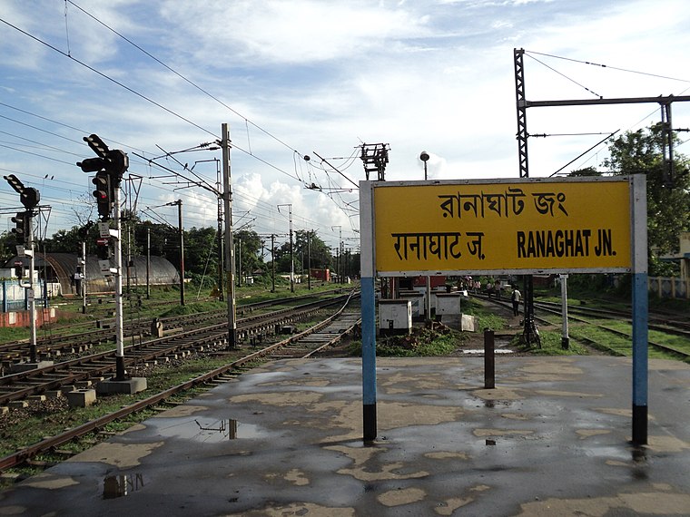
Photo: PP Yoonus, Public domain.
Ranaghat is a small town along the river Churni in the Nadia district of West Bengal. The name Ranaghat comes from the name of a Dakat Rana. This is the great character of Vande Mataram by Bankim Chandra Chattopadhyay.
Phulia
Town

Photo: Gangulybiswarup, CC BY 3.0.
Phulia is a census town in the Santipur CD block of the Ranaghat subdivision in the Nadia district in the Indian state of West Bengal. It is birthplace of 'Adi kavi' of Bengal Krittibas Ojha. Phulia is situated 5 km northwest of Doharpar.
Doharpar
- Type: Village
- Category: locality
- Location: Ranaghat I, Nadia, West Bengal, Eastern India, India, South Asia, Asia
- View on OpenStreetMap
Latitude
23.20412° or 23° 12′ 15″ northLongitude
88.53476° or 88° 32′ 5″ eastOpen location code
7MMC6G3M+JWOpenStreetMap ID
node 7156094384OpenStreetMap feature
place=village
This page is based on OpenStreetMap, Wikidata, and Wikimedia Commons.
We’d love your help improving our open data sources. Thank you for contributing.
Satellite Map
Discover Doharpar from above in high-definition satellite imagery.
Localities in the Area
Explore places such as Coopers Camp Township and Payradanga.
Notable Places Nearby
Highlights include Panpara pukur and Baganer Math.
West Bengal: Must-Visit Destinations
Delve into Kolkata, Jaynagar Majilpur, Siliguri, and Asansol.
Curious Villages to Discover
Uncover intriguing villages from every corner of the globe.
About Mapcarta. Data © OpenStreetMap contributors and available under the Open Database License". Text is available under the CC BY-SA 4.0 license, except for photos, directions, and the map. Photo: Darkone, CC BY-SA 3.0.