Feeling Peckish!
Feeling Peckish! is a café in Trafford, England. Feeling Peckish! is situated nearby to Abbotsfield Park, as well as near the school Urmston Grammar.| Tap on a place to explore it |
Places of Interest Nearby
Highlights include Chassen Road railway station and Urmston railway station.
Chassen Road railway station
Railway station

Photo: Parrot of Doom, CC BY-SA 4.0.
Chassen Road railway station is in the Trafford metropolitan borough of Greater Manchester in the north west of England. The station was opened by the Cheshire Lines Committee on 10 September 1934. Chassen Road railway station is situated 1,200 feet southwest of Feeling Peckish!.
Urmston railway station
Railway station

Photo: Roberturmston, Public domain.
Urmston railway station is a railway station serving the town of Urmston in Greater Manchester, England. It is 5+1⁄2 miles west of Manchester Oxford Road on the Manchester-Liverpool Line. It is managed by Northern Trains. Urmston railway station is situated 2,200 feet east of Feeling Peckish!.
Urmston Grammar
School
Urmston Grammar, is a co-educational grammar school in Urmston, Greater Manchester, England. It is an academy located within the Trafford Local Authority area, though not controlled by it. Urmston Grammar is situated 1,100 feet northeast of Feeling Peckish!.
Places in the Area
Nearby places include Urmston and Dumplington.
Urmston
Town
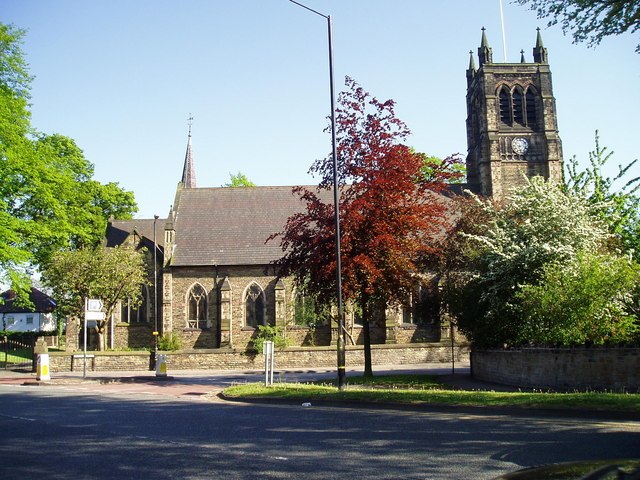
Photo: R Greenhalgh, CC BY-SA 2.0.
Urmston is a town in Trafford, Greater Manchester, England, which had a population of 41,731 at the 2021 Census. Historically in Lancashire, it is 5 miles southwest of Manchester city centre.
Dumplington
Suburb

Photo: Liverpoolpics, CC BY-SA 3.0.
Dumplington is an area of Trafford, Greater Manchester, England. Dumplington was one of several hamlets in the township of Barton-upon-Irwell, in the ancient ecclesiastical parish of Eccles in the hundred of Salford. Dumplington is situated 1½ miles north of Feeling Peckish!.
Stretford
Town

Photo: Parrot of Doom, CC BY-SA 3.0.
Stretford is a market town in Trafford, Greater Manchester, England, sited on flat ground between the River Mersey and the Manchester Ship Canal; the Bridgewater Canal bisects the town. Stretford is situated 1½ miles east of Feeling Peckish!.
Feeling Peckish!
- Type: Café
- Location: Trafford, England, United Kingdom, Britain and Ireland, Europe
- View on OpenStreetMap
Latitude
53.44822° or 53° 26′ 54″ northLongitude
-2.36359° or 2° 21′ 49″ westOpen location code
9C5VCJXP+7HOpenStreetMap ID
node 715880566OpenStreetMap feature
amenity=cafe
This page is based on OpenStreetMap, Wikidata, and Wikimedia Commons.
We’d love your help improving our open data sources. Thank you for contributing.
Satellite Map
Discover Feeling Peckish! from above in high-definition satellite imagery.
Notable Places Nearby
Highlights include Abbotsfield Park and English Martyrs‘ RC Primary School.
Nearby Places
Explore places such as Rabin Opticians and Handy Hardware & Household Goods.
England: Must-Visit Destinations
Delve into London, Manchester, Sheffield, and Leeds.
Curious Cafés to Discover
Uncover intriguing cafés from every corner of the globe.
About Mapcarta. Data © OpenStreetMap contributors and available under the Open Database License". Text is available under the CC BY-SA 4.0 license, except for photos, directions, and the map. Photo: sidibousaid, CC BY 2.0.