Hag Hill Lane
Hag Hill Lane is a bus stop in Taplow, South Bucks District, England. Hag Hill Lane is situated nearby to the police station Thames Valley Police Taplow, as well as near Phoenix Rugby Club.| Tap on a place to explore it |
Places of Interest Nearby
Highlights include Taplow railway station and Burnham railway station.
Taplow railway station
Railway station

Photo: Geof Sheppard, CC BY-SA 4.0.
Taplow railway station serves the village of Taplow in Buckinghamshire, England. It is 22 miles 39 chains down the line from London Paddington; it is situated between Burnham to the east and Maidenhead to the west. Taplow railway station is situated 1,800 feet west of Hag Hill Lane.
Burnham railway station
Railway station
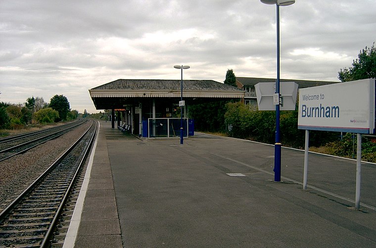
Photo: Cuzza, Public domain.
Burnham railway station is a railway station serving Burnham, Buckinghamshire, England, 20 miles 77 chains from London Paddington and situated between Slough to the east and Taplow to the west. Burnham railway station is situated 1¼ miles east of Hag Hill Lane.
The Olive Tree
Pub

Photo: Marathon, CC BY-SA 2.0.
The Olive Tree is a pub, which is situated 1,600 feet north of Hag Hill Lane.
Places in the Area
Nearby places include Taplow and Hitcham.
Taplow
Village

Photo: Stefan Czapski, CC BY-SA 2.0.
Taplow is a village and civil parish in Buckinghamshire, England. It sits on the left bank of the River Thames, facing Maidenhead in the neighbouring county of Berkshire, with Cippenham and Burnham to the east.
Hitcham
Hamlet

Photo: Stefan Czapski, CC BY-SA 2.0.
Hitcham was a village in Buckinghamshire, England. Today it is indistinguishable from the extended village of Burnham and is no longer marked on Ordnance Survey 1:50000 maps as a separate settlement.

Hag Hill Lane
- Type: Bus stop
- Category: transportation
- Location: Taplow, South Bucks District, Buckinghamshire, South East England, England, United Kingdom, Britain and Ireland, Europe
- View on OpenStreetMap
Latitude
51.52154° or 51° 31′ 18″ northLongitude
-0.6744° or 0° 40′ 28″ westOpen location code
9C3XG8CG+J6OpenStreetMap ID
node 7167656225OpenStreetMap feature
highway=bus_stopOpenStreetMap feature
public_transport=platform
This page is based on OpenStreetMap, Wikidata, and Wikimedia Commons.
We’d love your help improving our open data sources. Thank you for contributing.
Satellite Map
Discover Hag Hill Lane from above in high-definition satellite imagery.
Notable Places Nearby
Highlights include Thames Valley Police Taplow and Phoenix Rugby Club.
Nearby Places
Explore places such as Tesco and The Bishop Centre.
Buckinghamshire: Must-Visit Destinations
Delve into Milton Keynes, Aylesbury, High Wycombe, and Buckingham.
Curious Bus Stops to Discover
Uncover intriguing bus stops from every corner of the globe.
About Mapcarta. Data © OpenStreetMap contributors and available under the Open Database License". Text is available under the CC BY-SA 4.0 license, except for photos, directions, and the map. Photo: Wikimedia, CC0.