Rastplatz Hergottsbuche
Rastplatz Hergottsbuche is in Bad Vöslau, Politischer Bezirk Baden, Lower Austria. Rastplatz Hergottsbuche is situated nearby to the cave Kalkgrabenhöhle II, as well as near Gipfelhöhle.| Tap on a place to explore it |
Places of Interest Nearby
Highlights include Merkenstein ruins and Schloss Merkenstein.
Merkenstein ruins

Photo: Bwag, CC BY-SA 4.0.
The Merkenstein ruins are the remains of a castle in Lower Austria near Bad Vöslau in the Großau cadastre. In some sources, it is mentioned as early as the year 1141. Merkenstein ruins is situated 1 km southwest of Rastplatz Hergottsbuche.
Schloss Merkenstein
Castle

Photo: Bwag, CC BY-SA 4.0.
Schloss Merkenstein is a castle, which is situated 1 km west of Rastplatz Hergottsbuche.

Places in the Area
Nearby places include Pottenstein and Berndorf.
Pottenstein
Village

Photo: Bwag, CC BY-SA 3.0.
Pottenstein is a town in the district of Baden in Lower Austria in Austria. Pottenstein is situated 4½ km southwest of Rastplatz Hergottsbuche.
Berndorf
Town

Photo: Bwag, CC BY-SA 4.0.
Berndorf is a town in the district of Baden in Lower Austria in Austria. Because of its historic development in the 19th century it is also referred to as the Krupp town. Berndorf is situated 5 km southwest of Rastplatz Hergottsbuche.
Sooß
Village
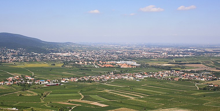
Photo: Bwag, CC BY-SA 3.0.
Sooß is a town in the district of Baden in Lower Austria, Austria. Sooß is situated 5 km east of Rastplatz Hergottsbuche.
Rastplatz Hergottsbuche
- Type: Sign
- Categories: information and tourism
- Location: Bad Vöslau, Politischer Bezirk Baden, Lower Austria, Austria, Central Europe, Europe
- View on OpenStreetMap
Latitude
47.98639° or 47° 59′ 11″ northLongitude
16.14401° or 16° 8′ 39″ eastOperator
Wienerwald Tourismus GmbHOpen location code
8FVRX4PV+HJOpenStreetMap ID
node 7182558055OpenStreetMap feature
tourism=information
This page is based on OpenStreetMap, Wikidata, and Wikimedia Commons.
We’d love your help improving our open data sources. Thank you for contributing.
Satellite Map
Discover Rastplatz Hergottsbuche from above in high-definition satellite imagery.
Notable Places Nearby
Highlights include Kalkgrabenhöhle II and Kalkgrabenhöhle I.
Nearby Places
Explore places such as Rastplatz Herrgottsbuche and Rastplatz Opfersteine.
Lower Austria: Must-Visit Destinations
Delve into St. Pölten, Wiener Neustadt, Amstetten, and Klosterneuburg.
Curious Places to Discover
Uncover intriguing places from every corner of the globe.
About Mapcarta. Data © OpenStreetMap contributors and available under the Open Database License". Text is available under the CC BY-SA 4.0 license, except for photos, directions, and the map. Photo: Lonezor, CC BY-SA 3.0.