Stopsley Halal Cash And Carry
Stopsley Halal Cash And Carry is a convenience store in Luton, England which is located on Hart Lane. Stopsley Halal Cash And Carry is situated nearby to St Annes Parish Church, as well as near the forest Land R/O Pomfret Avenue.| Tap on a place to explore it |
Places of Interest Nearby
Highlights include St Annes Parish Church and Luton railway station.
St Annes Parish Church
Church

Photo: Alex.brad, CC BY-SA 4.0.
St Annes Parish Church is situated 890 feet southeast of Stopsley Halal Cash And Carry.
Luton railway station
Railway station
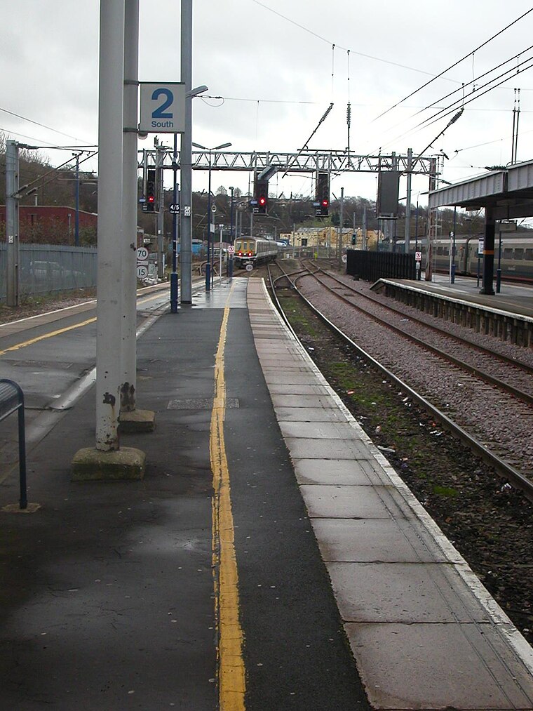
Photo: Hassocks5489, Public domain.
Luton railway station is located in the town centre of Luton, Bedfordshire, England. The station is about three minutes' walk from Luton Point Shopping Centre. It is situated on the Midland Main Line and is operated by Thameslink. Luton railway station is situated 3,100 feet west of Stopsley Halal Cash And Carry.
Luton Airport Parkway station
Railway station

Photo: Thomas Nugent, CC BY-SA 2.0.
Luton Airport Parkway station is on the Midland Main Line in England, serving south Luton and Luton Airport in Bedfordshire. The station is situated in Luton's Park Town district, being 29.27 miles from London St Pancras between Harpenden to the south and Luton to the north. Luton Airport Parkway station is situated 1 mile south of Stopsley Halal Cash And Carry.
Places in the Area
Nearby places include High Town and Round Green.
High Town
Suburb

Photo: Wikimedia, CC BY-SA 4.0.
High Town is an inner area of Luton immediately north of Luton railway station, and a ward of the Borough of Luton, in the ceremonial county of Bedfordshire, England.
Round Green
Suburb

Photo: Nigel Cox, CC BY-SA 2.0.
Round Green is a suburb of Luton just over 1 mile north-east of the town centre, and a ward of the Borough of Luton, in the ceremonial county of Bedfordshire, England.
Stopsley
Suburb

Photo: StuJB, CC BY-SA 3.0.
Stopsley is a suburb in the north-east of Luton, Bedfordshire, England. The area is roughly bounded by the edge of Luton to the north, Vauxhall Way and Turners Road North to the south, Bradgers Hill to the west, and Cannon Lane, Stapleford Road and Brays Road to the east.
Stopsley Halal Cash And Carry
- Type: Convenience store
- Address: 74 Hart Lane, Luton, LU2 0JQ
- Categories: shop and food
- Location: Luton, England, United Kingdom, Britain and Ireland, Europe
- View on OpenStreetMap
Latitude
51.88482° or 51° 53′ 5″ northLongitude
-0.40077° or 0° 24′ 3″ westOpen location code
9C3XVHMX+WMOpenStreetMap ID
node 7194172805OpenStreetMap feature
shop=convenience
This page is based on OpenStreetMap, Wikidata, and Wikimedia Commons.
We’d love your help improving our open data sources. Thank you for contributing.
Satellite Map
Discover Stopsley Halal Cash And Carry from above in high-definition satellite imagery.
Notable Places Nearby
Highlights include Land R/O Pomfret Avenue and Wenlock CofE Junior School.
Nearby Places
Explore places such as Master Chef and X Press.
England: Must-Visit Destinations
Delve into London, Manchester, Sheffield, and Leeds.
Curious Convenience Stores to Discover
Uncover intriguing convenience stores from every corner of the globe.
About Mapcarta. Data © OpenStreetMap contributors and available under the Open Database License". Text is available under the CC BY-SA 4.0 license, except for photos, directions, and the map. Photo: Bodrogikg, CC BY-SA 4.0.