Lupa
Lupa is a supermarket in Burgos, Castile and León. Lupa is situated nearby to the food court Casa Blanca, as well as near the health club Ethos pilates.| Tap on a place to explore it |
Places of Interest Nearby
Highlights include Church of Nuestra Señora de Fátima and Coliseum Burgos.
Church of Nuestra Señora de Fátima
Church

Photo: Tomukas, CC BY-SA 4.0.
Church of Nuestra Señora de Fátima is situated 330 metres northwest of Lupa.
Coliseum Burgos
Stadium

Photo: Asturkian, CC BY-SA 4.0.
The Coliseum Burgos, formerly named as Plaza de Toros de Burgos, is an indoor arena mainly used as bullring located in Burgos, Spain. It is a Spanish bullring originally opened in 1967 and remodelled in 2015 to serve as a multi-purpose arena. Coliseum Burgos is situated 1 km southwest of Lupa.
Estadio El Plantío
Stadium

Photo: Asturkian, CC BY-SA 4.0.
Estadio Municipal de El Plantío is a stadium in Burgos, Spain. It is currently used for football matches and is the home stadium of Burgos CF. The stadium holds 12,194 spectators. Estadio El Plantío is situated 1 km southwest of Lupa.
Places in the Area
Nearby places include Gamonal and Villayuda.


Villímar
Suburb
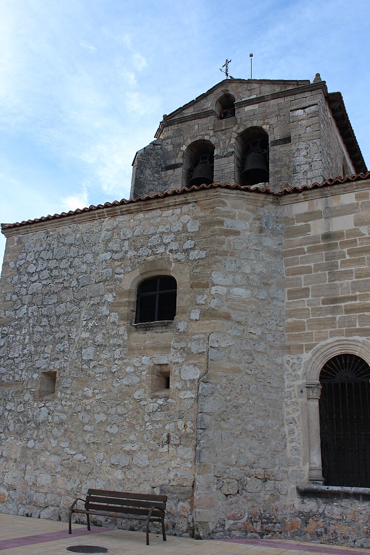
Photo: Aroamv, CC BY-SA 4.0.
Villímar is a suburb, which is situated 2½ km northeast of Lupa.
Lupa
- Type: Supermarket
- Categories: shop and food
- Location: Burgos, Burgos, Castile and León, Central Spain, Spain, Iberia, Europe
- View on OpenStreetMap
Latitude
42.34952° or 42° 20′ 58″ northLongitude
-3.67148° or 3° 40′ 17″ westBrand
LupaOpen location code
8CJR88XH+RCOpenStreetMap ID
node 721950243OpenStreetMap feature
shop=supermarket
This page is based on OpenStreetMap, Wikidata, and Wikimedia Commons.
We’d love your help improving our open data sources. Thank you for contributing.
Satellite Map
Discover Lupa from above in high-definition satellite imagery.
Places with the Same Name
Discover other places named “Lupa”.
Notable Places Nearby
Highlights include Casa Blanca and Ethos pilates.
Nearby Places
Explore places such as Tazitas and Vintage.
Castile and León: Must-Visit Destinations
Delve into Valladolid, Salamanca, León, and Segovia.
Curious Supermarkets to Discover
Uncover intriguing supermarkets from every corner of the globe.
About Mapcarta. Data © OpenStreetMap contributors and available under the Open Database License". Text is available under the CC BY-SA 4.0 license, except for photos, directions, and the map. Photo: Choniron, CC BY-SA 3.0 es.