Jardim Miranda D’Aviz
Jardim Miranda D’Aviz is a suburb in Mauá, São Paulo. Jardim Miranda D’Aviz is situated nearby to the quarter Sítio Feital, as well as near the neighborhood Jardim Agatti.| Tap on a place to explore it |
Places of Interest
Highlights include Mauá and Guapituba.
Mauá
Railway station
Mauá is a train station on CPTM, commuter rail in Sao Paulo, Brazil, Line 10-Turquoise, located in the city of Mauá. Mauá is situated 3 km west of Jardim Miranda D’Aviz.
Guapituba
Railway station

Photo: NickBr956, CC BY-SA 4.0.
Guapituba is a train station on CPTM Line 10-Turquoise, located in the city of Mauá. Guapituba is situated 3½ km southwest of Jardim Miranda D’Aviz.
Estádio Pedro Benedetti
Stadium
The Estádio Municipal Pedro Benedetti is a football stadium in Mauá, São Paulo, Brazil. It is the home ground of Grêmio Mauaense and Mauá Futebol. The stadium has a maximum capacity of 11,986, although only up to 8,567 fans are allowed in by the Military Firefighters Corps. Estádio Pedro Benedetti is situated 4 km west of Jardim Miranda D’Aviz.
Places in the Area
Nearby places include Vila Humaitá and Jardim Ipanema.
Vila Humaitá
Suburb

Photo: IgorEliezer, CC BY-SA 4.0.
Vila Humaitá is a suburb, which is situated 7 km west of Jardim Miranda D’Aviz.
Jardim Ipanema
Suburb
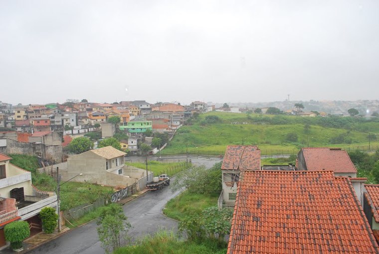
Photo: Manoel Messias de So…, CC BY-SA 3.0.
Jardim Ipanema is a suburb, which is situated 8 km west of Jardim Miranda D’Aviz.
Vila América
Suburb

Photo: Vitor Mazuco, CC BY-SA 4.0.
Vila América is a suburb, which is situated 8 km west of Jardim Miranda D’Aviz.
Jardim Miranda D’Aviz
- Type: Suburb
- Category: locality
- Location: Mauá, São Paulo, Southeast, Brazil, South America
- View on OpenStreetMap
Latitude
-23.66145° or 23° 39′ 41″ southLongitude
-46.43361° or 46° 26′ 1″ westOpen location code
588M8HQ8+CHOpenStreetMap ID
node 7258966271OpenStreetMap feature
place=suburb
This page is based on OpenStreetMap, Wikidata, and Wikimedia Commons.
We’d love your help improving our open data sources. Thank you for contributing.
Satellite Map
Discover Jardim Miranda D’Aviz from above in high-definition satellite imagery.
Localities in the Area
Explore places such as Sítio Feital and Jardim Agatti.
Notable Places Nearby
Highlights include Espaço Magic and Água Viva.
São Paulo: Must-Visit Destinations
Delve into São Paulo, Osasco, Santos, and Campinas.
Curious Suburbs to Discover
Uncover intriguing suburbs from every corner of the globe.
About Mapcarta. Data © OpenStreetMap contributors and available under the Open Database License". Text is available under the CC BY-SA 4.0 license, except for photos, directions, and the map. Photo: Wikimedia, CC BY-SA 3.0.