Bürder Loch
Bürder Loch is a bay in Niederbreitbach, Neuwied, Rhineland-Palatinate.| Tap on a place to explore it |
Places of Interest
Highlights include Monrepos and Neuerburg (Wied).
Monrepos
Museum
Photo: Epikureanlifestyle, CC BY-SA 3.0.
Monrepos is an archaeological research centre and a museum of human behavioural evolution located at Schloss Monrepos in Neuwied. The development of our modern human behaviour in the Palaeolithic and Mesolithic is studied at the research centre and the findings of these studies are conveyed to the public in the museum.

Am Forsthofweg
Archaeological site
The castellum or small fort nowadays called Am Forsthofweg was a Roman military camp of the Upper Germanic-Rhaetian Limes. It received UNESCO World Heritage status in 2005.
Places in the Area
Nearby places include Rengsdorf and Neuwied.
Rengsdorf

Photo: Frila, CC BY-SA 3.0.
Rengsdorf is a municipality in the district of Neuwied, in Rhineland-Palatinate, Germany. It is situated in the Westerwald, approx. 10 km north of Neuwied.
Neuwied

Photo: DorisAntony, CC BY-SA 3.0.
Neuwied is a town in the north of the German state of Rhineland-Palatinate, capital of the District of Neuwied. Neuwied lies on the east bank of the Rhine, 12 km northwest of Koblenz, on the railway from Frankfurt am Main to Cologne.
Andernach
Town
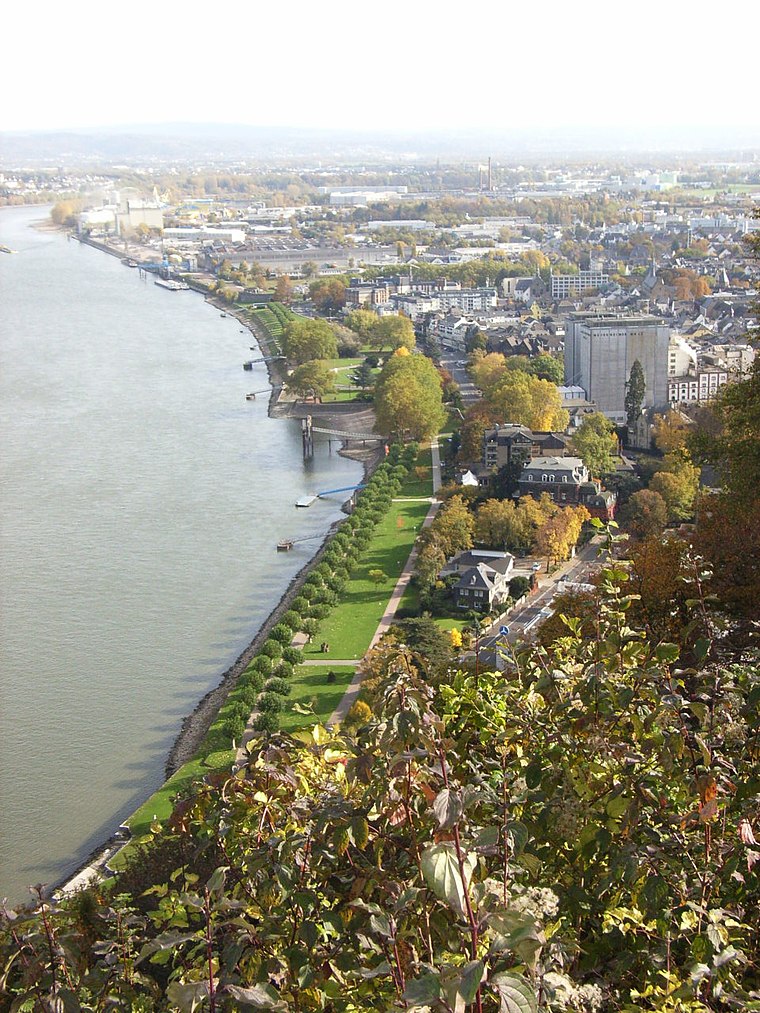
Photo: Maus-Trauden, CC BY-SA 3.0.
Andernach is a town in the district of Mayen-Koblenz, in Rhineland-Palatinate, Germany, of about 30,000 inhabitants. It is situated towards the end of the Neuwied basin on the left bank of the Rhine between the former tiny fishing village of Fornich in the…
Bürder Loch
- Type: Bay
- Category: body of water
- Location: Niederbreitbach, Neuwied, Rhineland-Palatinate, Germany, Central Europe, Europe
- View on OpenStreetMap
Latitude
50.5199° or 50° 31′ 12″ northLongitude
7.4278° or 7° 25′ 40″ eastOpen location code
9F29GC9H+X4OpenStreetMap ID
node 7342822460OpenStreetMap feature
natural=bay
This page is based on OpenStreetMap, Wikidata, and Wikimedia Commons.
We’d love your help improving our open data sources. Thank you for contributing.
Satellite Map
Discover Bürder Loch from above in high-definition satellite imagery.
Localities in the Area
Explore places such as Bürder and Wolfenacker.
Notable Places Nearby
Highlights include Stiller Winkel and Marien-Kapelle.
Rhineland-Palatinate: Must-Visit Destinations
Delve into Mainz, Trier, Koblenz, and Worms.
Curious Bays to Discover
Uncover intriguing bays from every corner of the globe.
About Mapcarta. Data © OpenStreetMap contributors and available under the Open Database License". Text is available under the CC BY-SA 4.0 license, except for photos, directions, and the map. Photo: Traveler100, CC BY-SA 3.0.