Grotta della Borraccia
Grotta della Borraccia is a cave in Trieste, Friuli-Venezia Giulia. Grotta della Borraccia is situated nearby to the cave Grotta presso Trebiciano, as well as near Grotta a NE di Trebiciano.| Tap on a place to explore it |
Places of Interest Nearby
Highlights include Abisso di Trebiciano and San Andrea Apostolo / Cerkev Svetega Andreja.
Abisso di Trebiciano
Cave

Photo: Wikimedia, Public domain.
Abisso di Trebiciano is a cave, which is situated 510 metres northeast of Grotta della Borraccia.
San Andrea Apostolo / Cerkev Svetega Andreja
Church

Photo: Marchetto da Trieste, CC BY-SA 4.0.
San Andrea Apostolo / Cerkev Svetega Andreja is a church, which is situated 1¼ km south of Grotta della Borraccia.
Villa Opicina railway station
Railway station
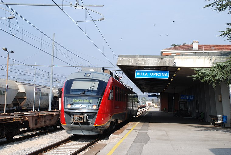
Photo: Pklos, CC BY-SA 4.0.
Villa Opicina railway station is situated 3 km northwest of Grotta della Borraccia.
Places in the Area
Nearby places include Orlek and Gropada.
Orlek
Village
Orlek is a village in the Municipality of Sežana in the Littoral region of Slovenia on the border with Italy.
Gropada
Village

Photo: Tiesse, Public domain.
Gropada is a village, which is situated 2½ km southeast of Grotta della Borraccia.
Opicina
Town
Opicina, formerly Poggioreale del Carso in Italian, is a town in northeastern Italy, close to the Slovenian border at Fernetti. Opicina is a frazione of the comune of Trieste, the provincial and regional capital. Opicina is situated 3 km west of Grotta della Borraccia.
Grotta della Borraccia
- Type: Cave
- Category: landform
- Location: Trieste, Province of Trieste, Friuli-Venezia Giulia, Northeast Italy, Italy, Europe
- View on OpenStreetMap
Latitude
45.68257° or 45° 40′ 57″ northLongitude
13.82826° or 13° 49′ 42″ eastElevation
332 metres (1,089 feet)Open location code
8FQMMRMH+28OpenStreetMap ID
node 7358951061OpenStreetMap feature
natural=cave_entrance
This page is based on OpenStreetMap, Wikidata, and Wikimedia Commons.
We’d love your help improving our open data sources. Thank you for contributing.
Satellite Map
Discover Grotta della Borraccia from above in high-definition satellite imagery.
Notable Places Nearby
Highlights include Grotta presso Trebiciano and Grotta a NE di Trebiciano.
Nearby Places
Explore places such as Stazione sperimentale ipogea and Cisterna.
Friuli-Venezia Giulia: Must-Visit Destinations
Delve into Udine, Aquileia, Gorizia, and Pordenone.
Curious Caves to Discover
Uncover intriguing caves from every corner of the globe.
About Mapcarta. Data © OpenStreetMap contributors and available under the Open Database License". Text is available under the CC BY-SA 4.0 license, except for photos, directions, and the map. Photo: Dodos2013, CC BY-SA 3.0.