François Robin
François Robin is a doctor’s office in Saint-Georges-de-Didonne, Arrondissement of Rochefort, Nouvelle-Aquitaine. François Robin is situated nearby to the social service facility Korian Les Parasols, as well as near the park Parc d’Enlias.| Tap on a place to explore it |
Places of Interest Nearby
Highlights include Royan – Médis Aerodrome and Église Saint-Georges de Saint-Georges-de-Didonne.
Royan – Médis Aerodrome
Aerodrome
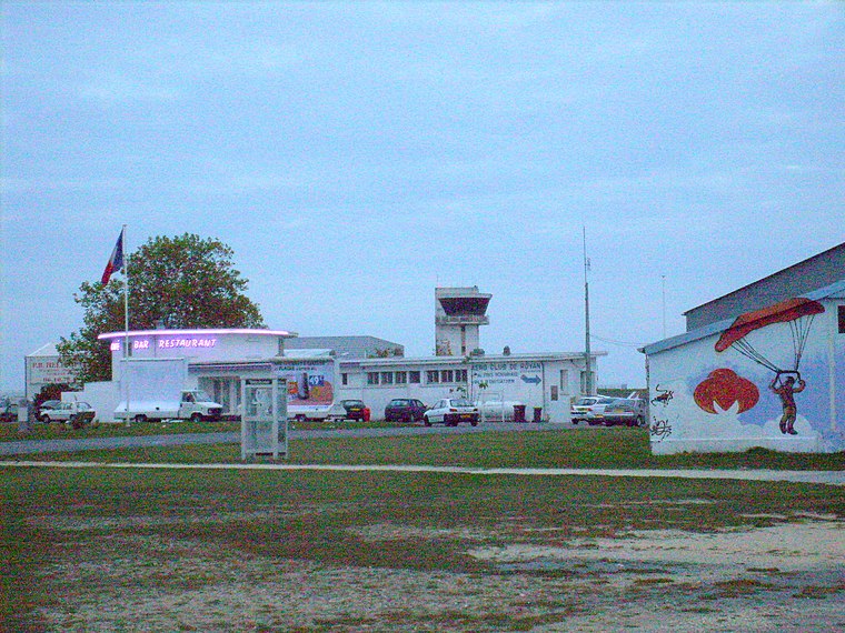
Photo: Cobber17, CC BY-SA 3.0.
Royan–Médis Aerodrome is an aerodrome located 4 km east of Royan, France.
Église Saint-Georges de Saint-Georges-de-Didonne
Church

Photo: Cobber17, CC BY-SA 3.0.
Église Saint-Georges de Saint-Georges-de-Didonne is a church, which is situated 1½ km southwest of François Robin.
Chapelle Saint-Jean de Marne-Yeuse
Church

Photo: Cobber17, CC BY-SA 3.0.
Chapelle Saint-Jean de Marne-Yeuse is a church, which is situated 1½ km northwest of François Robin.
Places in the Area
Nearby places include Saint-Georges-de-Didonne and Royan.
Saint-Georges-de-Didonne
Village

Photo: OLab, CC BY-SA 3.0.
Saint-Georges-de-Didonne is a commune in the Charente-Maritime department and Nouvelle-Aquitaine region in southwestern France. An important seaside resort of Royan and the coast of Beauty, on the right bank of the mouth of the Gironde estuary and adjacent…
Royan

Photo: Cobber17, CC BY-SA 3.0.
Royan is a port city and seaside resort in Charente-Maritime, southwestern France. It's along with La Baule, Arcachon and Biarritz one of the most famous resorts on the French Atlantic coast.
Meschers-sur-Gironde
Village

Photo: Jfda, CC BY-SA 3.0.
Meschers-sur-Gironde is a commune in the Charente-Maritime department, southwestern France. Meschers-sur-Gironde is situated 7 km southeast of François Robin.
François Robin
- Type: Doctor’s office
- Category: health care
- Location: Saint-Georges-de-Didonne, Arrondissement of Rochefort, Charente-Maritime, Nouvelle-Aquitaine, France, Europe
- View on OpenStreetMap
Latitude
45.61499° or 45° 36′ 54″ northLongitude
-0.98768° or 0° 59′ 16″ westOpen location code
8CQXJ276+XWOpenStreetMap ID
node 7367143045OpenStreetMap feature
amenity=doctorsOpenStreetMap feature
healthcare=doctor
This page is based on OpenStreetMap, Wikidata, and Wikimedia Commons.
We’d love your help improving our open data sources. Thank you for contributing.
Satellite Map
Discover François Robin from above in high-definition satellite imagery.
Notable Places Nearby
Highlights include Korian Les Parasols and Parc d’Enlias.
Nearby Places
Explore places such as Gaire Langlois and La Raboine.
Charente-Maritime: Must-Visit Destinations
Delve into La Rochelle, Royan, Saintes, and La Tremblade.
Curious Doctor’s Offices to Discover
Uncover intriguing doctor’s offices from every corner of the globe.
About Mapcarta. Data © OpenStreetMap contributors and available under the Open Database License". Text is available under the CC BY-SA 4.0 license, except for photos, directions, and the map. Photo: Jpbazard, CC BY-SA 3.0.