Sharpham Point
Sharpham Point is a headland in Stoke Gabriel, South Hams District, England. Sharpham Point is situated nearby to the hamlet Aish, as well as near the locality Coombe House Cross.| Tap on a place to explore it |
Places of Interest
Highlights include St David’s Church, Ashprington and Church of St Gabriel and St Mary.
St David’s Church, Ashprington
Church
 St David's Church in Ashprington, Devon, is a parish church in the Church of England. It is a Grade I listed building.

St Mary’s Church
Church

Photo: Paul Hutchinson, CC BY-SA 2.0.
St Mary's Church of Berry Pomeroy is an Anglican parish church in Berry Pomeroy, with a full length, forty-two foot wide, rood screen which has been described as one of the most perfect in Devon. It is listed on the Heritage at Risk Register.
Places in the Area
Nearby places include Totnes and Paignton.
Totnes

Photo: AlasdairW, CC BY-SA 3.0.
Totnes is a market town in the English Riviera and South Devon region of Devon. The village of Dartington is just outside Totnes, as is Dartington Hall.
Paignton
 Paignton is a seaside town in the Torbay area of the English Riviera and South Devon region of Devon. The town, which has a history as a fishing village but is also on the railway line, is home to the well-known Paignton Zoo.
Goodrington
Suburb
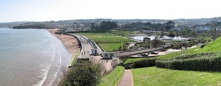 Goodrington is an area of Paignton in Devon, England. It is situated in Tor Bay and lies between Paignton town centre and Brixham, less than 1 mile south of central Paignton. Its beach is known as Goodrington Sands.
Sharpham Point
- Type: Headland
- Category: landform
- Location: Stoke Gabriel, South Hams District, Devon, West Country, England, United Kingdom, Britain and Ireland, Europe
- View on OpenStreetMap
Latitude
50.4097° or 50° 24′ 35″ northLongitude
-3.6444° or 3° 38′ 40″ westOpen location code
9C2RC954+V7OpenStreetMap ID
node 738018640OpenStreetMap feature
natural=headland
This page is based on OpenStreetMap, Wikidata, and Wikimedia Commons.
We’d love your help improving our open data sources. Thank you for contributing.
Satellite Map
Discover Sharpham Point from above in high-definition satellite imagery.
Localities in the Area
Explore places such as Aish and Aish Cross.
Notable Places Nearby
Highlights include Sharpham Vineyard and Sharpham Vineyard & Cheesemakers..
Devon: Must-Visit Destinations
Delve into Plymouth, Exeter, Torquay, and Barnstaple.
Curious Places to Discover
Uncover intriguing places from every corner of the globe.
About Mapcarta. Data © OpenStreetMap contributors and available under the Open Database License". Text is available under the CC BY-SA 4.0 license, except for photos, directions, and the map. Photo: matthewhartley369, CC BY-SA 2.0.