Fête galante
Fête galante is a work of art in Government of Amsterdam, North Holland. Fête galante is situated nearby to the health club Trainmore, as well as near the bridge L.H. Sarlouisbrug.| Tap on a place to explore it |
- Type: Work of art
- Artwork type: sculpture
- Description: sculpture in Amsterdam, the Netherlands
- Also known as: “Fete galante”
- Wheelchair access: yes
Places of Interest Nearby
Highlights include Canal District and Magere Brug.
Canal District

Photo: Massimo Catarinella, CC BY-SA 3.0.
The Canal District is the famous 17th-century district surrounding the Binnenstad of Amsterdam. The whole district is designated as a UNESCO World Heritage Site for its unique cultural and historical value, and its property values are among the highest in the country.
Magere Brug

Photo: S Sepp, CC BY-SA 3.0.
The Magere Brug is a bridge over the river Amstel in Amsterdam, Netherlands. It connects the banks of the river at Kerkstraat, between the Keizersgracht and Prinsengracht. Magere Brug is situated 250 metres west of Fête galante.
Hortus Botanicus
Garden

Photo: Shadowgate, CC BY 2.0.
Hortus Botanicus is a botanical garden in the Plantage district of Amsterdam, the Netherlands. It is one of the world's oldest botanical gardens. Hortus Botanicus is situated 290 metres northeast of Fête galante.
Places in the Area
Nearby places include Marken and Plantage.

Plantage

Photo: Zxempire, CC BY-SA 3.0 nl.
Plantage is a leafy neighbourhood in the centre of Amsterdam. This article also covers the Eastern Islands.
Amsterdam-Centrum
Suburb
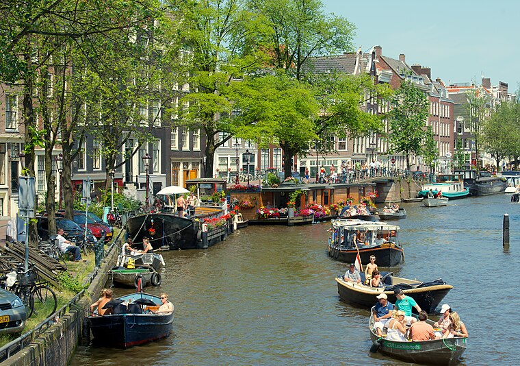
Photo: kevinmcgill, CC BY-SA 2.0.
Amsterdam-Centrum is the inner-most borough and historical city centre of Amsterdam, Netherlands, containing the majority of the city's landmarks. Established in 2002, Amsterdam-Centrum was the last area in the city to be granted the status of self-governing borough.
Fête galante
- Categories: sculpture and tourism
- Location: Government of Amsterdam, North Holland, Western Netherlands, Netherlands, Benelux, Europe
- View on OpenStreetMap
Latitude
52.36432° or 52° 21′ 52″ northLongitude
4.90585° or 4° 54′ 21″ eastInception
1994Open location code
9F469W74+P8OpenStreetMap ID
node 7395543674OpenStreetMap feature
tourism=artworkOpenStreetMap attribute
artwork_type=sculptureOpenStreetMap attribute
wheelchair=yesWikidata ID
Q29513474
This page is based on OpenStreetMap, Wikidata, and Wikimedia Commons.
We’d love your help improving our open data sources. Thank you for contributing.
Satellite Map
Discover Fête galante from above in high-definition satellite imagery.
In Other Languages
“Fête galante” goes by many names.
- Dutch: “Fete galante (Van den Ban)”
- Dutch: “Fête galante”
Notable Places Nearby
Highlights include Trainmore and L.H. Sarlouisbrug.
Nearby Places
Explore places such as Silver Grill and Nōbo.
North Holland: Must-Visit Destinations
Delve into Amsterdam, Haarlem, Alkmaar, and Schiphol Airport.
Curious Work Of Arts to Discover
Uncover intriguing work of arts from every corner of the globe.
About Mapcarta. Data © OpenStreetMap contributors and available under the Open Database License". Text is available under the CC BY-SA 4.0 license, except for photos, directions, and the map. Photo: Gouwenaar, CC0.