Distert Methodist Chapel
Distert Methodist Chapel is a church in Buckley, Flintshire, Wales. Distert Methodist Chapel is situated nearby to Buckley Coronation Park, as well as near Ebenezer Baptist Church.| Tap on a place to explore it |
Places of Interest Nearby
Highlights include Buckley railway station and St Matthew’s Church.
Buckley railway station
Railway station

Photo: Rept0n1x, CC BY-SA 3.0.
Buckley railway station serves the town of Buckley in Flintshire, Wales. The station is 8½ miles north of Wrexham Central on the Borderlands Line. The station was known as Buckley Junction until 6 May 1974, when it became Buckley. Buckley railway station is situated 2,200 feet east of Distert Methodist Chapel.
St Matthew’s Church
Church

Photo: Wikimedia, CC BY-SA 2.0.
St Matthew's Church, is in the town of Buckley, Flintshire, Wales. It is an active Anglican parish church in the Borderlands Mission Area, the archdeaconry of Wrexham and the diocese of St Asaph. The church is a Grade II* listed building. St Matthew’s Church is situated 4,100 feet northwest of Distert Methodist Chapel.
Etna Park
Park
Etna Park is a park near the town of Buckley. The area was a clay hole during the Industrial Revolution, and was later used as a landfill. The site has now been reclaimed, and has areas of wildflower meadow and woodland, and provides views across Cheshire, the Wirral and Merseyside. Etna Park is situated 1 mile north of Distert Methodist Chapel.
Places in the Area
Nearby places include Buckley and Penyffordd.
Buckley
Town
Photo: Wikimedia, CC BY-SA 2.0.
Clwyd is a preserved county in the eastern part of North Wales. It consists of the unitary authorities Wrexham, Flintshire, Denbighshire, as well as Conwy.
Penyffordd
Village

Photo: Jeff Buck, CC BY-SA 2.0.
Penyffordd, or Pen-y-ffordd, is a village, community and electoral ward in Flintshire, Wales, situated to the south east of Buckley and to the west of Chester.
Ewloe
Village
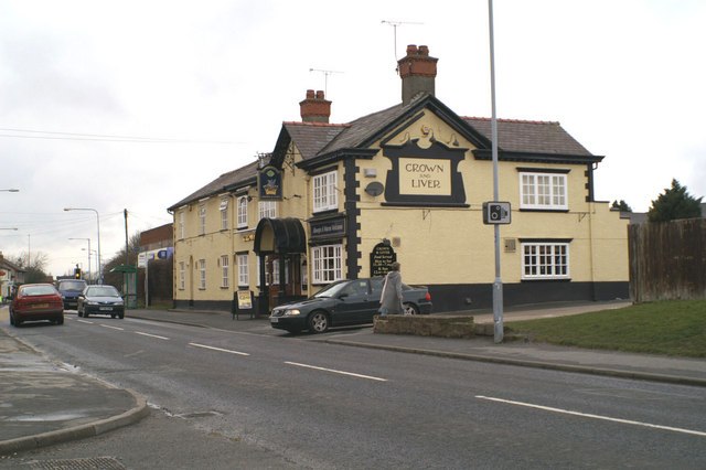
Photo: David Long, CC BY-SA 2.0.
Ewloe is a village and electoral ward in the community of Hawarden in Flintshire, Wales. It is situated close to the Flintshire/Cheshire sector of the Wales-England border. Ewloe is situated 1½ miles north of Distert Methodist Chapel.
Distert Methodist Chapel
- Type: Church
- Denomination: Methodist
- Categories: place of worship and religion
- Location: Buckley, Flintshire, Wales, United Kingdom, Britain and Ireland, Europe
- View on OpenStreetMap
Latitude
53.16448° or 53° 9′ 52″ northLongitude
-3.06481° or 3° 3′ 53″ westOpen location code
9C5R5W7P+Q3OpenStreetMap ID
node 739581626OpenStreetMap feature
amenity=place_of_worshipOpenStreetMap attribute
denomination=methodist
This page is based on OpenStreetMap, Wikidata, and Wikimedia Commons.
We’d love your help improving our open data sources. Thank you for contributing.
Satellite Map
Discover Distert Methodist Chapel from above in high-definition satellite imagery.
Notable Places Nearby
Highlights include Buckley Coronation Park and Ebenezer Baptist Church.
Nearby Places
Explore places such as Buckley, Chester Road / All Saints Church and Buckley Tyre Service.
Wales: Must-Visit Destinations
Delve into Cardiff, Swansea, Newport, and Llanfairpwllgwyngyll.
Curious Churches to Discover
Uncover intriguing churches from every corner of the globe.
About Mapcarta. Data © OpenStreetMap contributors and available under the Open Database License". Text is available under the CC BY-SA 4.0 license, except for photos, directions, and the map. Photo: Wikimedia, CC0.