Tolvstein syd
Tolvstein syd is a picnic site in Ullensaker, Akershus. Tolvstein syd is situated nearby to Restadmåsan, as well as near the village Neskollen.| Tap on a place to explore it |
Places of Interest Nearby
Highlights include Stein skole.
Stein skole
Museum

Photo: Wolfmann, CC BY-SA 4.0.
Stein skole is a museum, which is situated 3½ km northeast of Tolvstein syd.
Places in the Area
Nearby places include Neskollen and Hvam.
Neskollen
Village

Photo: TommyG, CC BY-SA 4.0.
Neskollen is a village in Nes municipality, Norway, located a few kilometres northwest of the urban area Årnes. Its population on 1 January 2017 was 2,222.
Hvam
Quarter
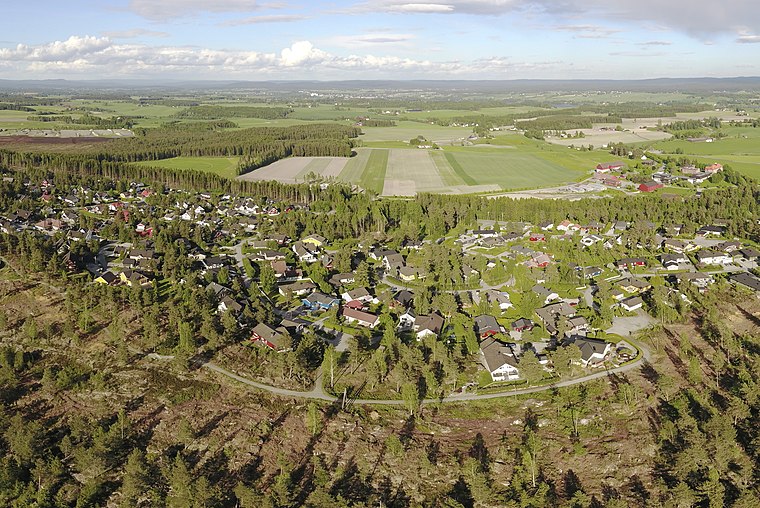
Photo: TommyG, CC BY-SA 4.0.
Hvam is a village in Nes municipality, Norway. It is a part of the urban area Tomteråsen, which is located a few miles west of the urban area Årnes. Its population is 660.
Haga
Village
Haga is a village in the municipality of Nes, Akershus, Norway. Its population is 571. Haga is situated 7 km southeast of Tolvstein syd.
Tolvstein syd
- Type: Picnic site
- Categories: tourism and recreation area
- Location: Ullensaker, Akershus, Norway, Nordic countries, Europe
- View on OpenStreetMap
Latitude
60.10997° or 60° 6′ 36″ northLongitude
11.33428° or 11° 20′ 3″ eastOpen location code
9FGH485M+XPOpenStreetMap ID
node 7398245666OpenStreetMap feature
leisure=firepitOpenStreetMap feature
tourism=picnic_site
This page is based on OpenStreetMap, Wikidata, and Wikimedia Commons.
We’d love your help improving our open data sources. Thank you for contributing.
Satellite Map
Discover Tolvstein syd from above in high-definition satellite imagery.
Notable Places Nearby
Highlights include Restadmåsan and Neskollen idrettspark.
Nearby Places
Explore places such as Skilt Tolvstein and Bålplass.
Norway: Must-Visit Destinations
Delve into Oslo, Bergen, Trondheim, and Tromsø.
Curious Picnic Sites to Discover
Uncover intriguing picnic sites from every corner of the globe.
About Mapcarta. Data © OpenStreetMap contributors and available under the Open Database License". Text is available under the CC BY-SA 4.0 license, except for photos, directions, and the map. Photo: Ximonic, CC BY-SA 3.0.