Pizza Browa
Pizza Browa is a fast food restaurant in England, United Kingdom. Pizza Browa is situated nearby to the library The Place at Platt Lane, as well as near Hart Road Post Office.| Tap on a place to explore it |
Places of Interest Nearby
Highlights include Alexandra Park and Holy Trinity Platt Church.
Alexandra Park
Park

Photo: Pit-yacker, CC BY-SA 3.0.
Alexandra Park is a 60-acre park in Whalley Range, Manchester, England, on the border of Moss Side, Manchester, on the border of Fallowfield, Manchester, designed by Alexander Gordon Hennell, and opened to the public in 1870. Alexandra Park is situated 3,000 feet northwest of Pizza Browa.
Holy Trinity Platt Church
Church
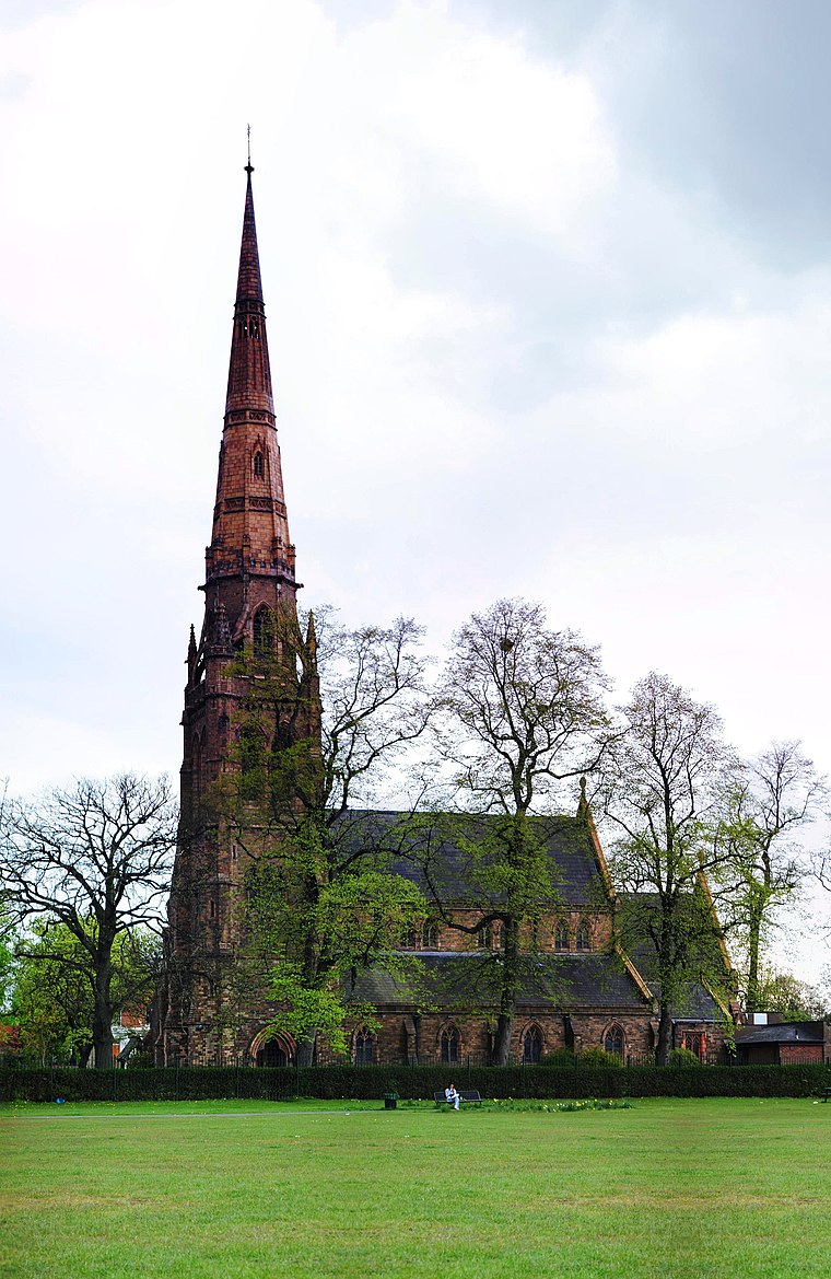
Photo: Nikthestoned, CC BY-SA 3.0.
Holy Trinity Platt Church, is in Platt Fields Park in Rusholme, Manchester, England. It is an active Anglican parish church in the deanery of Hulme, the archdeaconry of Manchester, and the diocese of Manchester. Holy Trinity Platt Church is situated 2,900 feet northeast of Pizza Browa.
William Hulme’s Grammar School
School
William Hulme's Grammar School is a coeducational all-through comprehensive school in Whalley Range, Manchester, England. William Hulme’s Grammar School is situated 2,100 feet west of Pizza Browa.
Places in the Area
Nearby places include South Manchester and Moss Side.
South Manchester

Photo: adambruderer, CC BY 2.0.
South Manchester covers the south of Manchester as far south as the M60. It lies within The Historic County Boundaries of Lancashire. It contains amongst others, the following neighbourhoods:…
Moss Side
Suburb

Photo: Mosscat, Public domain.
Moss Side is an inner-city area of Manchester, England, 1.9 miles south of the city centre. It had a population of 20,745 at the 2021 census. Moss Side is bounded by Hulme to the north, Chorlton-on-Medlock, Rusholme and Fallowfield to the east, Whalley Range to the south, and Old Trafford to the west.
Fallowfield
Suburb
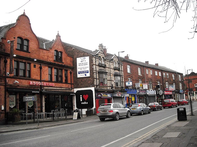
Photo: raver mikey, CC BY 2.0.
Fallowfield is a bustling area of Manchester with a population of 14,869 at the 2021 census. Historically in Lancashire, it lies 3 miles south of Manchester city centre and is bisected east–west by Wilbraham Road and north–south by Wilmslow Road.
Pizza Browa
- Type: Fast food restaurant
- Categories: food and restaurant
- Location: England, United Kingdom, Britain and Ireland, Europe
- View on OpenStreetMap
Latitude
53.447° or 53° 26′ 49″ northLongitude
-2.23786° or 2° 14′ 16″ westOpen location code
9C5VCQW6+RVOpenStreetMap ID
node 7441356630OpenStreetMap feature
amenity=fast_food
This page is based on OpenStreetMap, Wikidata, and Wikimedia Commons.
We’d love your help improving our open data sources. Thank you for contributing.
Satellite Map
Discover Pizza Browa from above in high-definition satellite imagery.
Notable Places Nearby
Highlights include The Place at Platt Lane and Hart Road Post Office.
Nearby Places
Explore places such as Last Chance Furniture and Gaarfour Furniture.
England: Must-Visit Destinations
Delve into London, Manchester, Sheffield, and Leeds.
Curious Fast Food Restaurants to Discover
Uncover intriguing fast food restaurants from every corner of the globe.
About Mapcarta. Data © OpenStreetMap contributors and available under the Open Database License". Text is available under the CC BY-SA 4.0 license, except for photos, directions, and the map. Photo: sidibousaid, CC BY 2.0.