Hammartorp
Hammartorp is a hamlet in Sundby socken, Kafjärden, Södermanland County. Hammartorp is situated nearby to the hamlet Sundby, as well as near Åsby.| Tap on a place to explore it |
Places of Interest
Highlights include Sundbyholmsåsen and Sigurd inscription.


Places in the Area
Nearby places include Sundbyholm and Kjulaås.
Sundbyholm
Village

Photo: L.G.foto, CC BY-SA 4.0.
Sundbyholm is a locality situated in Eskilstuna Municipality, Södermanland County, Sweden with 485 inhabitants in 2010.
Kjulaås
Village

Photo: Larske, CC BY-SA 3.0.
Kjulaås is a locality situated in Eskilstuna Municipality, Södermanland County, Sweden with 837 inhabitants in 2010. Kjulaås is situated 5 km southeast of Hammartorp.
Ängsholmen
Village
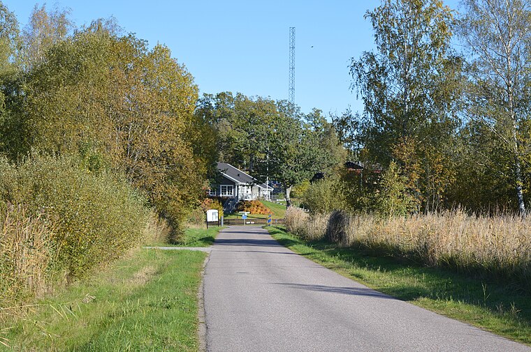
Photo: Hangsna, CC BY-SA 4.0.
Ängsholmen is a locality situated in Eskilstuna Municipality, Södermanland County, Sweden with 222 inhabitants in 2010. Ängsholmen is situated 9 km west of Hammartorp.
Hammartorp
- Type: Hamlet
- Category: locality
- Location: Sundby socken, Kafjärden, Eskilstuna Municipality, Södermanland County, Svealand, Sweden, Nordic countries, Europe
- View on OpenStreetMap
Latitude
59.42709° or 59° 25′ 38″ northLongitude
16.63161° or 16° 37′ 54″ eastOpen location code
9FFRCJGJ+RJOpenStreetMap ID
node 7444966075OpenStreetMap feature
place=hamlet
This page is based on OpenStreetMap, Wikidata, and Wikimedia Commons.
We’d love your help improving our open data sources. Thank you for contributing.
Satellite Map
Discover Hammartorp from above in high-definition satellite imagery.
Localities in the Area
Explore places such as Sundby and Åsby.
Notable Places Nearby
Highlights include Sundby Kyrka and Sundbyholm gästhamn.
Södermanland County: Must-Visit Destinations
Delve into Eskilstuna, Nyköping, Katrineholm, and Oxelösund.
Curious Hamlets to Discover
Uncover intriguing hamlets from every corner of the globe.
About Mapcarta. Data © OpenStreetMap contributors and available under the Open Database License". Text is available under the CC BY-SA 4.0 license, except for photos, directions, and the map. Photo: Wikimedia, CC BY-SA 4.0.