Knattebråten
Knattebråten is a locality in Eda Municipality, Värmland County. Knattebråten is situated nearby to the hamlet Västergården, as well as near the village Eda glasbruk.| Tap on a place to explore it |
Places of Interest
Highlights include Eda glass museum and Charlottenberg Station.
Charlottenberg Station
Railway station
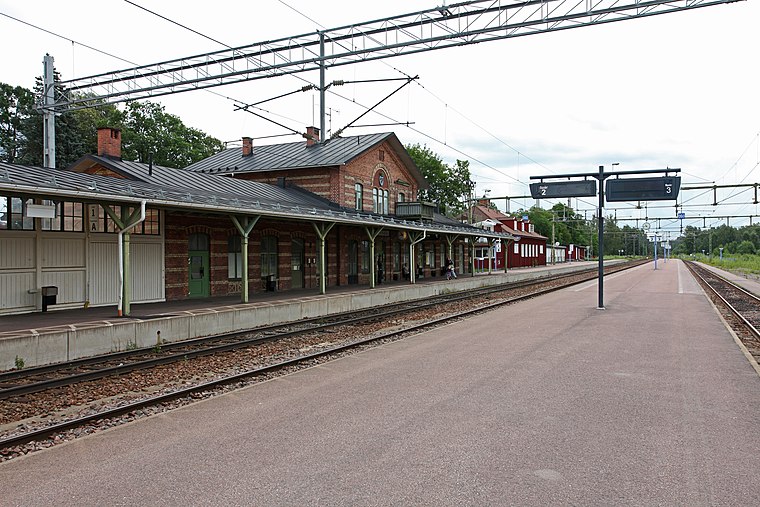
Photo: Wikimedia, CC BY-SA 3.0.
Charlottenberg Station is a railway station located on the Kongsvinger Line and the Värmland Line at Charlottenberg in Eda, Sweden. The station is located 5 kilometers from the Norway–Sweden border and was opened in 1865 for changing crew on international trains between Sweden and Norway. Charlottenberg Station is situated 3½ km southeast of Knattebråten.
Places in the Area
Nearby places include Charlottenberg.
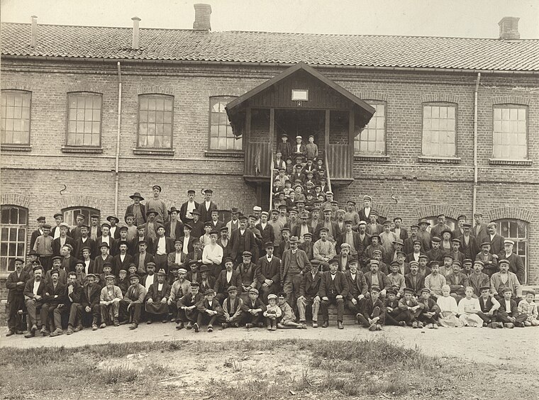
Charlottenberg
Town

Photo: Wikimedia, CC BY-SA 3.0.
Charlottenberg is a locality in Värmland County, Sweden, and the administrative centre of Eda Municipality. Situated some seven kilometres from the Norwegian border, the town has a population of around 3,000. Charlottenberg is situated 4 km southeast of Knattebråten.
Knattebråten
- Type: Locality
- Location: Eda Municipality, Värmland County, Sweden, Nordic countries, Europe
- View on OpenStreetMap
Latitude
59.90844° or 59° 54′ 30″ northLongitude
12.25678° or 12° 15′ 24″ eastOpen location code
9FFJW754+9POpenStreetMap ID
node 7475315025OpenStreetMap feature
place=locality
This page is based on OpenStreetMap, Wikidata, and Wikimedia Commons.
We’d love your help improving our open data sources. Thank you for contributing.
Satellite Map
Discover Knattebråten from above in high-definition satellite imagery.
Localities in the Area
Explore places such as Västergården and Eda glasbruk.
Notable Places Nearby
Highlights include Ämteruds skans and Älvvallen.
Sweden: Must-Visit Destinations
Delve into Stockholm, Uppsala, Gothenburg, and Malmö.
Curious Localities to Discover
Uncover intriguing localities from every corner of the globe.
About Mapcarta. Data © OpenStreetMap contributors and available under the Open Database License". Text is available under the CC BY-SA 4.0 license, except for photos, directions, and the map. Photo: Wikimedia, Public domain.