Hügelgrab Steinfeld
Hügelgrab Steinfeld is an archaeological site in Bülstedt, Rotenburg, Lower Saxony. Hügelgrab Steinfeld is situated nearby to the pitch Trainingsgelände MSC Wörpetal, as well as near Großsteingrab Steinfeld 1.| Tap on a place to explore it |
- Opening hours: 24/7
- Type: Archaeological site
- Wheelchair access: no
Places of Interest Nearby
Highlights include Großsteingräber bei Steinfeld and Schwarzes Moor bei Bülstedt.
Großsteingräber bei Steinfeld

Photo: Megalithicguy, CC BY-SA 4.0.
Großsteingräber bei Steinfeld is situated 1¼ km south of Hügelgrab Steinfeld.
Schwarzes Moor bei Bülstedt
Nature reserve

Photo: Smarties, CC BY-SA 4.0.
Schwarzes Moor bei Bülstedt is a nature reserve, which is situated 3 km southwest of Hügelgrab Steinfeld.
Großsteingrab Badenstedt
Archaeological site

Photo: Holger rix, CC BY-SA 3.0.
Großsteingrab Badenstedt is an archaeological site, which is situated 3½ km north of Hügelgrab Steinfeld.
Places in the Area
Nearby places include Badenstedt and Oldendorf.
Badenstedt
Village

Photo: Stadt Zeven, CC BY-SA 3.0 de.
Badenstedt is a village, which is situated 5 km north of Hügelgrab Steinfeld.
Oldendorf
Village

Photo: Stadt Zeven, CC BY-SA 3.0 de.
Oldendorf is a village, which is situated 6 km northeast of Hügelgrab Steinfeld.
Brüttendorf
Village
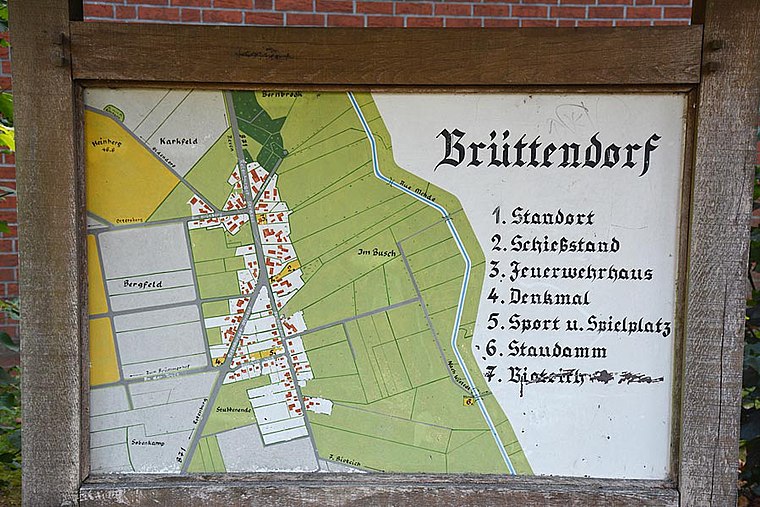
Photo: Stadt Zeven, CC BY-SA 3.0 de.
Brüttendorf is a village, which is situated 6 km northeast of Hügelgrab Steinfeld.
Hügelgrab Steinfeld
- Categories: historic site, tourist attraction, and tourism
- Location: Bülstedt, Rotenburg, Lower Saxony, Germany, Central Europe, Europe
- View on OpenStreetMap
Latitude
53.23123° or 53° 13′ 52″ northLongitude
9.21148° or 9° 12′ 41″ eastOpen location code
9F5F66J6+FHOpenStreetMap ID
node 7495113411OpenStreetMap feature
historic=archaeological_siteOpenStreetMap attribute
wheelchair=no
This page is based on OpenStreetMap, Wikidata, and Wikimedia Commons.
We’d love your help improving our open data sources. Thank you for contributing.
Satellite Map
Discover Hügelgrab Steinfeld from above in high-definition satellite imagery.
Notable Places Nearby
Highlights include Trainingsgelände MSC Wörpetal and Großsteingrab Steinfeld 1.
Nearby Places
Explore places such as Hebamme Heike Röhrs and Klärteiche Steinfeld.
Lower Saxony: Must-Visit Destinations
Delve into Hanover, Göttingen, Brunswick, and Wolfsburg.
Curious Archaeological Sites to Discover
Uncover intriguing archaeological sites from every corner of the globe.
About Mapcarta. Data © OpenStreetMap contributors and available under the Open Database License". Text is available under the CC BY-SA 4.0 license, except for photos, directions, and the map. Photo: Danapit, CC BY-SA 3.0.