Klärteiche Steinfeld
Klärteiche Steinfeld is a wastewater treatment plant in Bülstedt, Rotenburg, Lower Saxony. Klärteiche Steinfeld is situated nearby to the cemetery Friedhof Steinfeld, as well as near Großsteingräber bei Steinfeld.| Tap on a place to explore it |
Places of Interest Nearby
Highlights include Großsteingräber bei Steinfeld and Schwarzes Moor bei Bülstedt.
Großsteingräber bei Steinfeld

Photo: Megalithicguy, CC BY-SA 4.0.
Großsteingräber bei Steinfeld is situated 1 km east of Klärteiche Steinfeld.
Schwarzes Moor bei Bülstedt
Nature reserve

Photo: Smarties, CC BY-SA 4.0.
Schwarzes Moor bei Bülstedt is a nature reserve.
Großsteingrab Nartum
Archaeological site
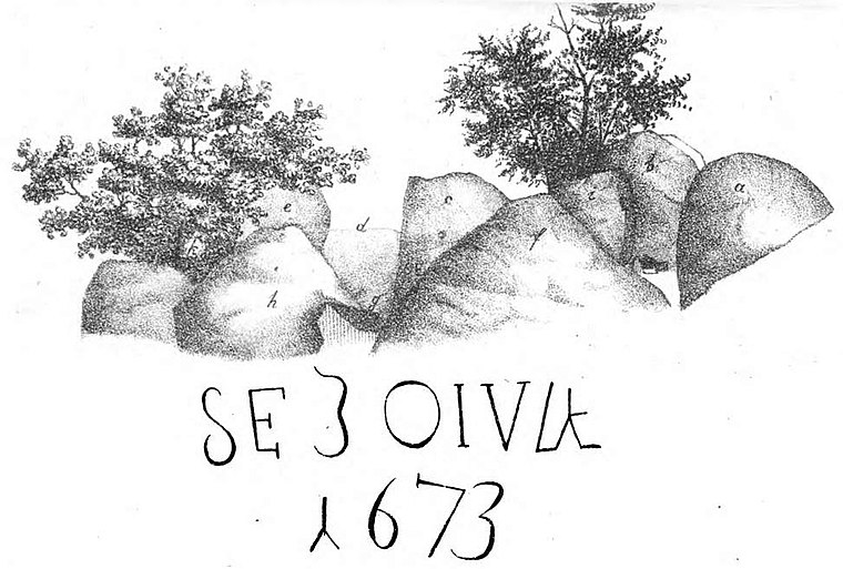
Photo: Wikimedia, Public domain.
Großsteingrab Nartum is an archaeological site, which is situated 3½ km southeast of Klärteiche Steinfeld.
Places in the Area
Nearby places include Badenstedt and Oldendorf.
Badenstedt
Village

Photo: Stadt Zeven, CC BY-SA 3.0 de.
Badenstedt is a village, which is situated 6 km north of Klärteiche Steinfeld.
Oldendorf
Village

Photo: Stadt Zeven, CC BY-SA 3.0 de.
Oldendorf is a village, which is situated 7 km northeast of Klärteiche Steinfeld.
Brüttendorf
Village
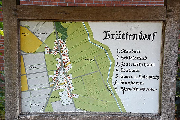
Photo: Stadt Zeven, CC BY-SA 3.0 de.
Brüttendorf is a village, which is situated 7 km northeast of Klärteiche Steinfeld.
Klärteiche Steinfeld
- Type: Wastewater treatment plant
- Category: industry
- Location: Bülstedt, Rotenburg, Lower Saxony, Germany, Central Europe, Europe
- View on OpenStreetMap
Latitude
53.22194° or 53° 13′ 19″ northLongitude
9.19889° or 9° 11′ 56″ eastOpen location code
9F5F65CX+QHOpenStreetMap ID
way 798886241OpenStreetMap feature
man_made=wastewater_plant
This page is based on OpenStreetMap, Wikidata, and Wikimedia Commons.
We’d love your help improving our open data sources. Thank you for contributing.
Satellite Map
Discover Klärteiche Steinfeld from above in high-definition satellite imagery.
Notable Places Nearby
Highlights include Friedhof Steinfeld and Großsteingrab Steinfeld 1.
Nearby Places
Explore places such as Steinfeld, L 132 and Hebamme Heike Röhrs.
Lower Saxony: Must-Visit Destinations
Delve into Hanover, Göttingen, Brunswick, and Wolfsburg.
Curious Wastewater Treatment Plants to Discover
Uncover intriguing wastewater treatment plants from every corner of the globe.
About Mapcarta. Data © OpenStreetMap contributors and available under the Open Database License". Text is available under the CC BY-SA 4.0 license, except for photos, directions, and the map. Photo: Danapit, CC BY-SA 3.0.