Urbanización El Plantío
Urbanización El Plantío is a neighborhood in Albacete, Castile-La Mancha and has about 82 residents. Urbanización El Plantío is situated nearby to the neighborhood Urbanización La Florida, as well as near Urbanización Los Chopos.| Tap on a place to explore it |
Places of Interest
Highlights include Hospital Universitario Nuestra Señora del Perpetuo Socorro de Albacete and Albacete Provincial Museum.
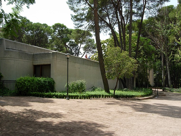
Hospital Universitario Nuestra Señora del Perpetuo Socorro de Albacete
Hospital

Photo: JPOK, CC BY-SA 3.0.
Hospital Universitario Nuestra Señora del Perpetuo Socorro de Albacete is situated 2½ km east of Urbanización El Plantío.
Albacete Provincial Museum
Museum
 The Albacete Provincial Museum is a museum of archeology and fine art located in Albacete, Spain. The museum has existed in various incarnations since 1927, and settled in its present building in Abelardo Sánchez Park in 1978. Albacete Provincial Museum is situated 4 km east of Urbanización El Plantío.
Plaza de Toros de Albacete
Stadium

Photo: Rodelar, CC BY-SA 4.0.
The Plaza de Toros de Albacete is a bullring in the town of the Albacete, in the region of Castilla-La Mancha. Popularly known as "La Chata", a member of the Royal Academy, José Maria de Cossio, called it "one of the most excellent bullrings of Spain". Plaza de Toros de Albacete is situated 3½ km northeast of Urbanización El Plantío.
Places in the Area
Nearby places include Hospital and Medicina.
Hospital
Suburb

Photo: Jose Pablo OK, CC BY-SA 3.0.
Hospital is a suburb, which is situated 4½ km east of Urbanización El Plantío.
Medicina
Suburb

Photo: Jose Pablo OK, CC BY-SA 3.0.
Medicina is a suburb, which is situated 5 km east of Urbanización El Plantío.
Aguas Nuevas
Suburb
Aguas Nuevas is a village in Albacete, Castile-La Mancha, Spain. It is a small community belonging to the municipality of Albacete. It is located south of the Spanish capital. In 2023 it had 1968 inhabitants according to the INE. Aguas Nuevas is situated 7 km south of Urbanización El Plantío.
Urbanización El Plantío
- Type: Neighborhood with 82 residents
- Category: locality
- Location: Albacete, Albacete, Castile-La Mancha, Central Spain, Spain, Iberia, Europe
- View on OpenStreetMap
Latitude
38.98305° or 38° 58′ 59″ northLongitude
-1.90009° or 1° 54′ 0″ westPopulation
82Elevation
682 metres (2,238 feet)Open location code
8CCWX3MX+6XOpenStreetMap ID
node 7495284733OpenStreetMap feature
place=neighbourhood
This page is based on OpenStreetMap, Wikidata, and Wikimedia Commons.
We’d love your help improving our open data sources. Thank you for contributing.
Satellite Map
Discover Urbanización El Plantío from above in high-definition satellite imagery.
Places with the Same Name
Discover other places named “Urbanización El Plantío”.
Localities in the Area
Explore places such as Urbanización La Florida and Urbanización El Plantío II.
Notable Places Nearby
Highlights include Viveros Avendaño and Área de Recreo el Palo.
Castile-La Mancha: Must-Visit Destinations
Delve into Toledo, Cuenca, Ciudad Real, and Consuegra.
Curious Neighborhoods to Discover
Uncover intriguing neighborhoods from every corner of the globe.
About Mapcarta. Data © OpenStreetMap contributors and available under the Open Database License". Text is available under the CC BY-SA 4.0 license, except for photos, directions, and the map. Photo: Kurnosem, CC BY-SA 3.0.