Unidad Sanitaria Nuevo Fiorito
Unidad Sanitaria Nuevo Fiorito is a clinic in Lomas de Zamora Partido, Buenos Aires which is located on Larrazabal. Unidad Sanitaria Nuevo Fiorito is situated nearby to the park Plaza 1 de Octubre, as well as near the church Capilla Nuestra Señora de Caacupé.| Tap on a place to explore it |
- Opening hours: 24/7
- Type: Clinic
- Address: 3100 Larrazabal, 1832
Places of Interest Nearby
Highlights include Autódromo Oscar y Juan Gálvez and General Savio.
Autódromo Oscar y Juan Gálvez
Sports venue

Photo: Wikimedia, CC BY 2.5 ar.
The Autódromo de Buenos Aires Oscar y Juan Gálvez is a 45,000 capacity motor racing circuit in Buenos Aires, Argentina built in 1952 under president Juan Perón, named Autódromo 17 de Octubre after the date of Loyalty Day until Perón's overthrow. Autódromo Oscar y Juan Gálvez is situated 1¼ km northwest of Unidad Sanitaria Nuevo Fiorito.
General Savio
Tram stop

Photo: El xeneixe12, CC BY-SA 3.0.
General Savio is a station on the Buenos Aires Premetro. The station is on the branch that terminates at General Savio station. It was opened on 29 April 1987 together with the other Premetro stations. General Savio is situated 1½ km northwest of Unidad Sanitaria Nuevo Fiorito.
La Noria Bridge
Bridge

Photo: Wikimedia, CC BY-SA 3.0.
La Noria Bridge is situated 1½ km southwest of Unidad Sanitaria Nuevo Fiorito.
Places in the Area
Nearby places include Villa Fiorito and General Savio Neighborhood.
Villa Fiorito
Town

Photo: Alpertron, CC BY-SA 4.0.
Villa Fiorito is a city in the Lomas de Zamora Partido of Buenos Aires Province, to the south of central Buenos Aires, Argentina. It forms part of the Greater Buenos Aires urban conurbation.
General Savio Neighborhood
Quarter
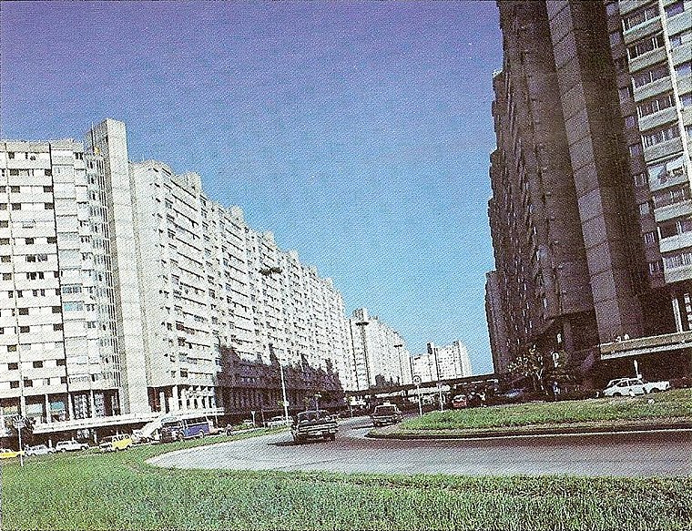
Photo: Wikimedia, Public domain.
General Savio Neighborhood is a quarter.
Villa Riachuelo
Suburb
Photo: Wikimedia, CC BY-SA 3.0.
Villa Riachuelo is a barrio or neighborhood of Buenos Aires, Argentina. Located at the southernmost end of the city, Villa Riachuelo is bordered by the barrios of Villa Lugano to the north and Villa Soldati to the northeast, the Buenos Aires Province localities of Villa Fiorito and Lanús Oeste to the southeast and Ciudad Madero to the southwest.
Unidad Sanitaria Nuevo Fiorito
- Category: health care
- Location: Lomas de Zamora Partido, Buenos Aires, Pampas, Argentina, South America
- View on OpenStreetMap
Latitude
-34.69642° or 34° 41′ 47″ southLongitude
-58.44597° or 58° 26′ 46″ westOperator
Lomas de ZamoraOpen location code
48Q38H33+CJOpenStreetMap ID
node 7527137963OpenStreetMap feature
amenity=clinicOpenStreetMap feature
healthcare=clinic
This page is based on OpenStreetMap, Wikidata, and Wikimedia Commons.
We’d love your help improving our open data sources. Thank you for contributing.
Satellite Map
Discover Unidad Sanitaria Nuevo Fiorito from above in high-definition satellite imagery.
Notable Places Nearby
Highlights include Plaza 1 de Octubre and Capilla Nuestra Señora de Caacupé.
Nearby Places
Explore places such as Escuela Primaria 98 and Jardín De Infantes Municipal Rincón Feliz Nº 18.
Buenos Aires: Must-Visit Destinations
Delve into Buenos Aires, La Plata, Mar del Plata, and Centro.
Curious Clinics to Discover
Uncover intriguing clinics from every corner of the globe.
About Mapcarta. Data © OpenStreetMap contributors and available under the Open Database License". Text is available under the CC BY-SA 4.0 license, except for photos, directions, and the map. Photo: Mbusin, CC BY-SA 4.0.