Mont Bénilde
Mont Bénilde is a social service facility in Bécancour, Centre-du-Québec, Quebec. Mont Bénilde is situated nearby to the park Centre de la biodiversité, as well as near the church Église Évangélique d’Aujourd’hui.| Tap on a place to explore it |
Places of Interest Nearby
Highlights include Centre de la Biodiversité du Québec and Léon-Provancher Ecological Reserve.
Centre de la Biodiversité du Québec
Museum

Photo: Pagé Émilie, CC BY-SA 4.0.
Centre de la Biodiversité du Québec is a museum, which is situated 320 metres east of Mont Bénilde.
Léon-Provancher Ecological Reserve
Nature reserve
Léon-Provancher Ecological Reserve is an ecological reserve of Quebec, Canada, established in 1999. Léon-Provancher Ecological Reserve is situated 3 km southeast of Mont Bénilde.
Cathedral of the Assumption of the Virgin Mary
Church
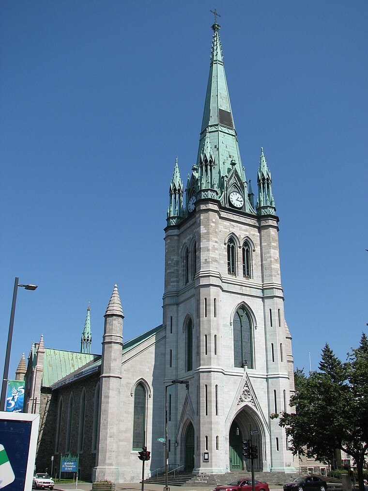
Photo: Stéphane Batigne, CC BY 3.0.
The Assumption Cathedral also called Paroisse Immaculée-Conception of Trois-Rivières, is the mother church of the Roman Catholic Diocese of Trois-Rivieres in Quebec, Canada, since the nineteenth century. Cathedral of the Assumption of the Virgin Mary is situated 3½ km northwest of Mont Bénilde.
Places in the Area
Nearby places include Trois-Rivières and Cap-de-la-Madeleine.
Trois-Rivières

Photo: Fralambert, CC BY-SA 3.0.
Trois-Rivières is the second-oldest city in Quebec, founded in 1634. It lies almost half-way between Montreal and Quebec City and can make a nice stopover on travel between those two cities.
Cap-de-la-Madeleine
Suburb
Cap-de-la-Madeleine is a former city in Quebec, Canada at the confluence of the Saint-Maurice River and the St. Lawrence River. It was amalgamated into the City of Trois-Rivières in 2002. Population 33,022. Cap-de-la-Madeleine is situated 4½ km north of Mont Bénilde.
Sainte-Marthe-du-Cap
Suburb

Photo: Fralambert, CC BY-SA 4.0.
Sainte-Marthe-du-Cap is a former city in Quebec, Canada on the St. Lawrence River. It was amalgamated into the City of Trois-Rivières in 2002. Its population as of the 2001 census was 6,192. Sainte-Marthe-du-Cap is situated 6 km north of Mont Bénilde.
Mont Bénilde
- Type: Social service facility
- Location: Bécancour, Centre-du-Québec, Central Quebec, Quebec, Canada, North America
- View on OpenStreetMap
Latitude
46.32806° or 46° 19′ 41″ northLongitude
-72.50727° or 72° 30′ 26″ westOpen location code
87R98FHV+63OpenStreetMap ID
node 7549149629OpenStreetMap feature
amenity=social_facility
This page is based on OpenStreetMap, Wikidata, and Wikimedia Commons.
We’d love your help improving our open data sources. Thank you for contributing.
Satellite Map
Discover Mont Bénilde from above in high-definition satellite imagery.
Notable Places Nearby
Highlights include Centre de la biodiversité and Église Évangélique d’Aujourd’hui.
Nearby Places
Explore places such as Garage Sainte-Angèle and Garage Deshaies Jean-Louis.
Centre-du-Québec: Must-Visit Destinations
Delve into Drummondville and Victoriaville.
Curious Social Service Facilities to Discover
Uncover intriguing social service facilities from every corner of the globe.
About Mapcarta. Data © OpenStreetMap contributors and available under the Open Database License". Text is available under the CC BY-SA 4.0 license, except for photos, directions, and the map. Photo: Robert Cutts, CC BY-SA 2.0.