Roma Republic
Roma Republic is a café in City of Subiaco, Western Australia. Roma Republic is situated nearby to the health club Body Fit Training, as well as near Subiaco Sqaure.| Tap on a place to explore it |
Places of Interest Nearby
Highlights include Subiaco railway station and St John of God Subiaco Hospital.
Subiaco railway station
Railway station

Photo: Wikimedia, Public domain.
Subiaco railway station is a railway station on the Transperth network in Western Australia. It is located on the Fremantle line and Airport line, 3.7 kilometres from Perth station serving the suburbs of Subiaco and Wembley. Subiaco railway station is situated 140 metres southeast of Roma Republic.
St John of God Subiaco Hospital
Hospital
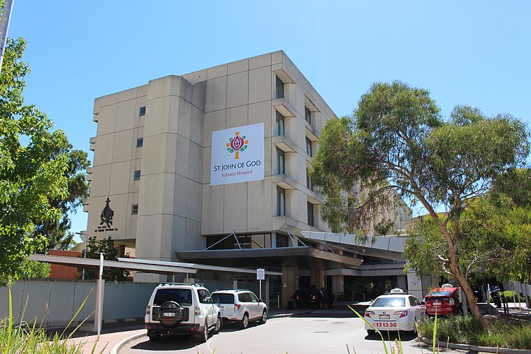
Photo: Samuel Wiki, CC0.
St John of God Subiaco Hospital is a private hospital in Subiaco, Western Australia, founded in 1898. St John of God Subiaco Hospital is situated 280 metres northeast of Roma Republic.
Regal Theatre
Theater building

Photo: Samuel Wiki, CC0.
The Regal Theatre is a fine Art Deco theatre located in the Perth suburb of Subiaco in Western Australia. It was built in 1937, and officially opened on 27 April 1938. Regal Theatre is situated 350 metres south of Roma Republic.
Places in the Area
Nearby places include Subiaco and West Leederville.
Subiaco
Suburb

Photo: Ali K, CC BY-SA 3.0.
Subiaco is an inner-western suburb of Perth, the capital of Western Australia. It is approximately 3 km west of Perth's central business district, in the City of Subiaco local government area.
West Leederville
Suburb

Photo: Gnangarra, CC BY 2.5 au.
West Leederville is a suburb 3 kilometres northwest of the central business district of Perth, the capital of Western Australia, and is within the Town of Cambridge.
Jolimont
Suburb

Photo: Steelkamp, CC BY-SA 4.0.
Jolimont is a small western suburb of Perth, Western Australia, located within the City of Subiaco, although a small portion of the suburb is administered by the Town of Cambridge west of the CBD.
Roma Republic
- Type: Café
- Location: City of Subiaco, Western Australia, Australia, Oceania
- View on OpenStreetMap
Latitude
-31.94359° or 31° 56′ 37″ southLongitude
115.82322° or 115° 49′ 24″ eastOpen location code
4PWQ3R4F+H7OpenStreetMap ID
node 7557989074OpenStreetMap feature
amenity=cafe
This page is based on OpenStreetMap, Wikidata, and Wikimedia Commons.
We’d love your help improving our open data sources. Thank you for contributing.
Satellite Map
Discover Roma Republic from above in high-definition satellite imagery.
Places with the Same Name
Discover other places named “Roma Republic”.
Notable Places Nearby
Highlights include Body Fit Training and Subiaco Sqaure.
Nearby Places
Explore places such as Pharmacy 777 and Classic Threading.
Western Australia: Must-Visit Destinations
Delve into Perth, Fremantle, Kalgoorlie–Boulder, and Purnululu National Park.
Curious Cafés to Discover
Uncover intriguing cafés from every corner of the globe.
About Mapcarta. Data © OpenStreetMap contributors and available under the Open Database License". Text is available under the CC BY-SA 4.0 license, except for photos, directions, and the map. Photo: JarrahTree, CC0.