El Tranque / Tambo Quemado
El Tranque / Tambo Quemado is a bus stop in Arica y Parinacota Region, Chile. El Tranque / Tambo Quemado is situated nearby to the grassland Rotonda Manuel Castillo, as well as near the park Parque Benedicto.| Tap on a place to explore it |
Places of Interest Nearby
Highlights include Estadio Carlos Dittborn and El Buitre Airfield.
Estadio Carlos Dittborn
Stadium

Photo: Wikimedia, CC BY 3.0 cl.
The Carlos Dittborn Stadium is a multi-purpose stadium in Arica, Chile. Primarily used for football matches, it was constructed in 1962 specifically for the purpose of hosting games during the 1962 World Cup, which took place in Chile. Estadio Carlos Dittborn is situated 1½ km northwest of El Tranque / Tambo Quemado.
El Buitre Airfield
Aerodrome
El Buitre Airport is a military airport just south of Arica, a Pacific coastal city in the Tarapacá Region of Chile. The runway is 2 kilometres inland from the Pacific shore.
Casa Yanulaque
Monument
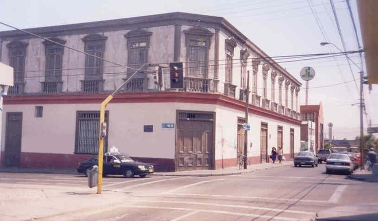
Photo: Wikimedia, CC BY-SA 2.5.
The Casa Yanulaque is a historical building located in the Chilean city of Arica, in the corner of 18 de Septiembre and General Lagos streets. It is owned by the Peruvian State as part of the 1929 Treaty of Lima, and currently houses its consulate-general. Casa Yanulaque is situated 3½ km northwest of El Tranque / Tambo Quemado.
Places in the Area
Nearby places include Arica and Las Maitas.
Arica

Photo: Till.niermann, CC BY-SA 3.0.
Arica is a seaside resort town of 223,000 in Northern Chile. It's quiet, relaxed and safe, with several nice beaches and sun virtually every day of the year.
Las Maitas
Hamlet
Las Maitas is a village in the Arica and Parinacota Region, Chile. In 2002, according to a national census, it had a population of 60 people: 30 men and 30 women. Las Maitas is situated 10 km east of El Tranque / Tambo Quemado.
El Tranque / Tambo Quemado
- Type: Bus stop
- Category: transportation
- Location: Arica y Parinacota Region, Chile, South America
- View on OpenStreetMap
Latitude
-18.49579° or 18° 29′ 45″ southLongitude
-70.28671° or 70° 17′ 12″ westOpen location code
57HFGP37+M8OpenStreetMap ID
node 7667989453OpenStreetMap feature
highway=bus_stop
This page is based on OpenStreetMap, Wikidata, and Wikimedia Commons.
We’d love your help improving our open data sources. Thank you for contributing.
Satellite Map
Discover El Tranque / Tambo Quemado from above in high-definition satellite imagery.
Notable Places Nearby
Highlights include Rotonda Manuel Castillo and Rotonda Adolfo Arenas.
Nearby Places
Explore places such as Panamericana Norte / Puerta principal ASOAGRO and Junji.
Chile: Must-Visit Destinations
Delve into Central Chile, Santiago, Valparaíso, and Concepción.
Curious Bus Stops to Discover
Uncover intriguing bus stops from every corner of the globe.
About Mapcarta. Data © OpenStreetMap contributors and available under the Open Database License". Text is available under the CC BY-SA 4.0 license, except for photos, directions, and the map. Photo: Till.niermann, CC BY-SA 3.0.