Cafe urban og bar
Cafe urban og bar is a café in Aalborg Municipality, North Jutland. Cafe urban og bar is situated nearby to the library Center for Dansk Jazzhistorie, as well as near the park Karolinelund.| Tap on a place to explore it |
Places of Interest Nearby
Highlights include Karolinelund and Nordkraft.
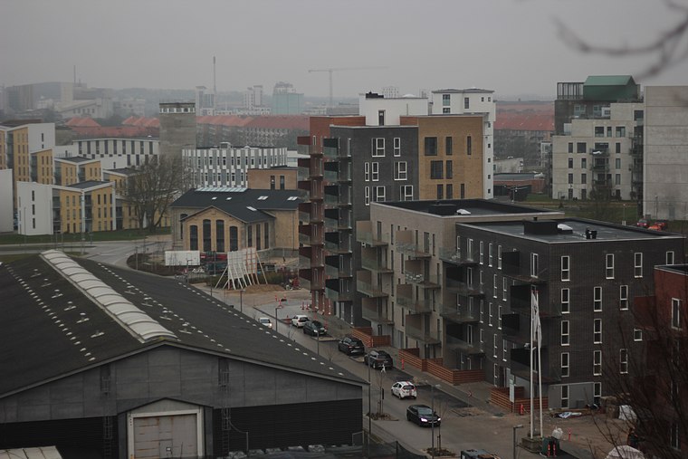
Karolinelund
Park

Photo: Reinholt, Public domain.
Karolinelund is a Danish public park located in Aalborg, Denmark, at the eastern end of the city centre. Until 2010, it hosted an amusement park. Karolinelund is situated 140 metres southeast of Cafe urban og bar.
Nordkraft
Community center

Photo: Veng, Public domain.
Nordkraft is a cultural centre in the Danish city of Aalborg. Opened in 2009, it is located in a former electricity generating station close to the waterfront in an area designated for cultural development. Nordkraft is situated 170 metres northeast of Cafe urban og bar.
Budolfi Church
Church

Photo: Ralf Skjerning, CC BY-SA 3.0.
Budolfi Church is the cathedral church for the Lutheran Diocese of Aalborg in north Jutland, Denmark. Budolfi Church is situated 760 metres northwest of Cafe urban og bar.
Places in the Area
Nearby places include Aalborg and Øgadekvarteret.
Aalborg
 Aalborg is the largest city in North Jutland, Denmark. Aalborg is an old town with many preserved buildings and important prehistoric relics, but also thriving cultural life with several institutions of national importance.

Cafe urban og bar
- Type: Café
- Location: Aalborg Municipality, North Jutland, Jutland, Denmark, Nordic countries, Europe
- View on OpenStreetMap
Latitude
57.0452° or 57° 2′ 43″ northLongitude
9.93099° or 9° 55′ 52″ eastOpen location code
9F9F2WWJ+39OpenStreetMap ID
node 7710726863OpenStreetMap feature
amenity=cafe
This page is based on OpenStreetMap, Wikidata, and Wikimedia Commons.
We’d love your help improving our open data sources. Thank you for contributing.
Satellite Map
Discover Cafe urban og bar from above in high-definition satellite imagery.
Notable Places Nearby
Highlights include Center for Dansk Jazzhistorie and Skraaen.
Nearby Places
Explore places such as Aalborg Fagligt Fælles Forbund and Gladcyklen.
North Jutland: Must-Visit Destinations
Delve into Aalborg, Frederikshavn, Skagen, and Hjørring.
Curious Cafés to Discover
Uncover intriguing cafés from every corner of the globe.
About Mapcarta. Data © OpenStreetMap contributors and available under the Open Database License". Text is available under the CC BY-SA 4.0 license, except for photos, directions, and the map. Photo: Slaunger, CC BY-SA 3.0.