Prà d’Arza
Prà d’Arza is a locality in Ton, Trentino, Trentino-Alto Adige. Prà d’Arza is situated nearby to the locality Val Sdrazza, as well as near the hamlet Il Monte.| Tap on a place to explore it |
Places of Interest
Highlights include Rocca Piana and Corno di Tres.


Biotop Fennberger See - Biotopo Lago di Favogna
Nature reserve

Photo: Alessandro Gigliotti, CC BY 3.0.
Biotop Fennberger See - Biotopo Lago di Favogna is a nature reserve, which is situated 3 km east of Prà d’Arza.
Places in the Area
Nearby places include Vervò and Roveré della Luna.
Vervò
Village

Photo: Syrio, CC BY-SA 4.0.
Vervò was a comune in Trentino in the northern Italian region Trentino-Alto Adige/Südtirol, located about 25 kilometres north of Trento. As of 31 December 2004, it had a population of 694 and an area of 15.2 square kilometres. Vervò is situated 4 km northwest of Prà d’Arza.
Roveré della Luna
Village
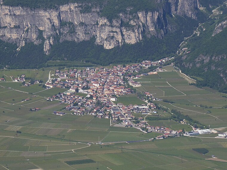
Photo: Syrio, CC BY-SA 4.0.
Roveré della Luna is a comune in Trentino in the northern Italian region Trentino-Alto Adige/Südtirol, located about 20 kilometres north of Trento. Roveré della Luna borders the following municipalities: Kurtatsch, Vervò, Margreid, Ton, Salorno and Mezzocorona. Roveré della Luna is situated 4 km southeast of Prà d’Arza.
Priò
Village

Photo: Syrio, CC BY-SA 4.0.
Priò is a village, which is situated 4 km west of Prà d’Arza.
Prà d’Arza
- Type: Locality
- Location: Ton, Trentino, Trentino-Alto Adige, Northeast Italy, Italy, Europe
- View on OpenStreetMap
Latitude
46.27715° or 46° 16′ 38″ northLongitude
11.13889° or 11° 8′ 20″ eastOpen location code
8FRH74GQ+VHOpenStreetMap ID
node 7713402577OpenStreetMap feature
place=locality
This page is based on OpenStreetMap, Wikidata, and Wikimedia Commons.
We’d love your help improving our open data sources. Thank you for contributing.
Satellite Map
Discover Prà d’Arza from above in high-definition satellite imagery.
Localities in the Area
Explore places such as Valico Prà d’Arza and Val Sdrazza.
Notable Places Nearby
Highlights include Prà dal Widmann and Cima d’Arza.
Trentino: Must-Visit Destinations
Delve into Trento, Rovereto, Riva del Garda, and Canazei.
Curious Localities to Discover
Uncover intriguing localities from every corner of the globe.
About Mapcarta. Data © OpenStreetMap contributors and available under the Open Database License". Text is available under the CC BY-SA 4.0 license, except for photos, directions, and the map. Photo: VitVit, CC BY-SA 4.0.