Store Jyndevad
Store Jyndevad is a monitoring station in Aabenraa Municipality, Region of Southern Denmark. Store Jyndevad is situated nearby to the forest Fredstrup Plantage, as well as near the coniferous forest Rens Hedegaard Plantage.| Tap on a place to explore it |
Places in the Area
Nearby places include Store Jyndevad and Bylderup-Bov.
Bylderup-Bov
Village

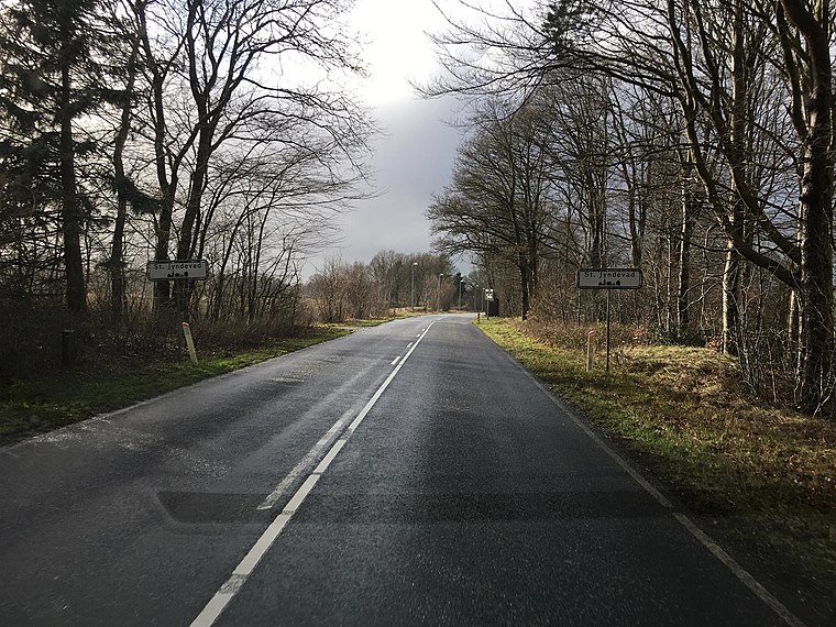
Photo: Beethoven9, CC BY-SA 4.0.
Bylderup-Bov is a town in Aabenraa Municipality, within the Region of Southern Denmark. It had a population of 1,301 as of 1 January, 2024. It is located 15 km east of Tønder, 12 km west of Tinglev, 20 km southeast of Løgumkloster and 25 km southwest of Aabenraa. Bylderup-Bov is situated 5 km north of Store Jyndevad.
Bramstedtlund
Village
Bramstedtlund is a municipality in the district of Nordfriesland, in Schleswig-Holstein, Germany. Bramstedtlund is situated 7 km south of Store Jyndevad.
Store Jyndevad
Latitude
54.89855° or 54° 53′ 55″ northLongitude
9.12287° or 9° 7′ 22″ eastInception
June 6th, 2001Operator
Danish Meteorological InstituteOpen location code
9F6FV4XF+C4OpenStreetMap ID
node 7736535973OpenStreetMap feature
man_made=monitoring_station
This page is based on OpenStreetMap, Wikidata, and Wikimedia Commons.
We’d love your help improving our open data sources. Thank you for contributing.
Satellite Map
Discover Store Jyndevad from above in high-definition satellite imagery.
Places with the Same Name
Discover other places named “Store Jyndevad”.
Notable Places Nearby
Highlights include Mellem Slesvigs Grænser and Rens Fiskesø.
Nearby Places
Explore places such as Teptoft and Jyndevad Autoservice.
Denmark: Must-Visit Destinations
Delve into Copenhagen, Aarhus, Odense, and Aalborg.
Curious Monitoring Stations to Discover
Uncover intriguing monitoring stations from every corner of the globe.
About Mapcarta. Data © OpenStreetMap contributors and available under the Open Database License". Text is available under the CC BY-SA 4.0 license, except for photos, directions, and the map. Photo: Wikimedia, CC BY-SA 3.0.