Prados de Alameda
Prados de Alameda is a neighborhood in Villahermosa, Tolima Department. Prados de Alameda is situated nearby to the neighborhood Ferias, as well as near Villanueva.| Tap on a place to explore it |
Places in the Area
Nearby places include Villahermosa and Casabianca.
Villahermosa
Town
Villahermosa is a town and municipality in the Tolima department of Colombia. The population of the municipality was 12,574 as of the 1993 census. The municipality is also one of the most important coffee producers of Tolima's north.
Casabianca
Town

Photo: Díacl, CC BY-SA 4.0.
Casabianca is a town and municipality in the Tolima Department of Colombia. The population of the municipality was 6,501 as of the 1993 census. Casabianca is situated 5 km north of Prados de Alameda.
Herveo
Town
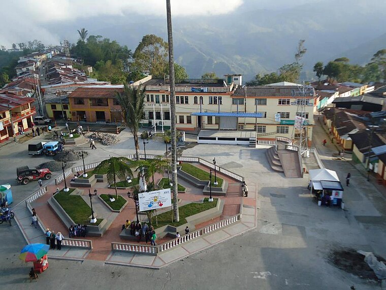
Photo: Jhonny1815, CC BY-SA 3.0.
Herveo is a town and municipality in the Tolima department of Colombia. The population of the municipality was 10,292 as of the 1993 census. Herveo is situated 8 km northwest of Prados de Alameda.
Prados de Alameda
- Type: Neighborhood
- Category: locality
- Location: Villahermosa, Tolima Department, Colombia, South America
- View on OpenStreetMap
Latitude
5.03191° or 5° 1′ 55″ northLongitude
-75.12136° or 75° 7′ 17″ westOpen location code
67Q62VJH+QFOpenStreetMap ID
node 7812938900OpenStreetMap feature
place=neighbourhood
This page is based on OpenStreetMap, Wikidata, and Wikimedia Commons.
We’d love your help improving our open data sources. Thank you for contributing.
Satellite Map
Discover Prados de Alameda from above in high-definition satellite imagery.
Localities in the Area
Explore places such as Ferias and Villanueva.
Notable Places Nearby
Highlights include Campo de Futbol and Nuestra Señora de las Mercedes.
Colombia: Must-Visit Destinations
Delve into Bogotá, Medellín, Cali, and Cartagena.
Curious Neighborhoods to Discover
Uncover intriguing neighborhoods from every corner of the globe.
About Mapcarta. Data © OpenStreetMap contributors and available under the Open Database License". Text is available under the CC BY-SA 4.0 license, except for photos, directions, and the map. Photo: Wikimedia, CC0.