Emerald Rings
Emerald Rings is a work of art in Los Angeles, Southern California, California. Emerald Rings is situated nearby to Grace Lutheran Church, as well as near Coombs Park.| Tap on a place to explore it |
Places of Interest Nearby
Highlights include Culver City Senior High School and Kirk Douglas Theatre.
Culver City Senior High School
School
Culver City High School is the main public high school of the Culver City Unified School District in Culver City, California. It was established in 1951. Culver City Senior High School is situated 1,700 feet southwest of Emerald Rings.
Kirk Douglas Theatre
Theater building

Photo: steve lyon, CC BY-SA 2.0.
The Kirk Douglas Theatre is a 317-seat theater located in Culver City, California, United States. Since 2004, it has been operated by the Center Theatre Group. Kirk Douglas Theatre is situated 1 mile north of Emerald Rings.
Museum of Jurassic Technology
Museum
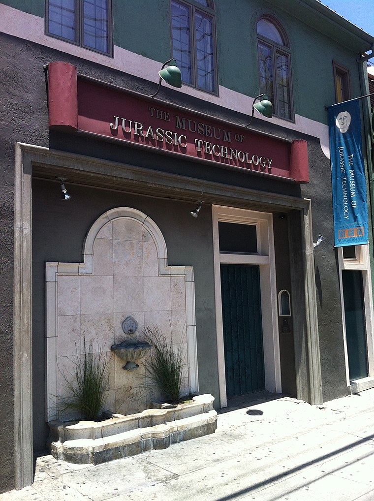
Photo: Tore Danielsson, CC BY-SA 4.0.
The Museum of Jurassic Technology at 9341 Venice Boulevard in the Palms district of Los Angeles, California, was founded by David Hildebrand Wilson and Diana Drake Wilson in 1988. Museum of Jurassic Technology is situated 1¼ miles north of Emerald Rings.
Places in the Area
Nearby places include Culver City and Palms.
Culver City

Photo: Wikimedia, CC BY-SA 3.0.
Culver City is a city on the Westside of Los Angeles County. It was given the moniker the "Heart of Screenland" during the 1930s and 1940s when it was responsible for half of America's motion picture production; today it remains home to Sony Pictures Studios and Culver Studios.
Palms
Suburb
 Palms is a community in the Westside region of Los Angeles, California, founded in 1886 and the oldest neighborhood annexed to the city, in 1915. The 1886 tract was marketed as an agricultural and vacation community.
Fox Hills
Neighborhood
Fox Hills is a neighborhood of Culver City, California. It is roughly triangular in shape, bounded by West Slauson Avenue to the north, Centinela Avenue on the south, the San Diego Freeway to the southwest, and Canterbury Drive to the southeast.
Emerald Rings
- Type: Work of art
- Artwork type: sculpture
- Category: tourism
- Location: Los Angeles, Southern California, California, United States, North America
- View on OpenStreetMap
Latitude
34.00913° or 34° 0′ 33″ northLongitude
-118.39815° or 118° 23′ 53″ westOpen location code
85632J52+MPOpenStreetMap ID
node 7838238246OpenStreetMap feature
tourism=artworkOpenStreetMap attribute
artwork_type=sculpture
This page is based on OpenStreetMap, Wikidata, and Wikimedia Commons.
We’d love your help improving our open data sources. Thank you for contributing.
Satellite Map
Discover Emerald Rings from above in high-definition satellite imagery.
Notable Places Nearby
Highlights include Grace Lutheran Church and Coombs Park.
Nearby Places
Explore places such as The Spot Cafe and Artistic Nail Salon.
Los Angeles: Must-Visit Destinations
Delve into Hollywood, San Gabriel Valley, San Fernando Valley, and Long Beach.
Curious Work Of Arts to Discover
Uncover intriguing work of arts from every corner of the globe.
About Mapcarta. Data © OpenStreetMap contributors and available under the Open Database License". Text is available under the CC BY-SA 4.0 license, except for photos, directions, and the map. Photo: Mfield, CC BY-SA 3.0.