Diervort
Diervort is a locality in Kevelaer, Kleve, North Rhine-Westphalia. Diervort is situated nearby to the locality Dilverschenbend, as well as near Hoenselaersche Heide.| Tap on a place to explore it |
Places of Interest
Highlights include Honselaerer Mühle and St. Petrus, Wetten.
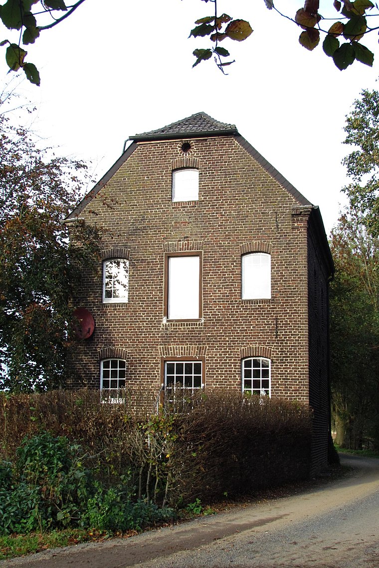
St. Petrus, Wetten
Church

Photo: Michielverbeek, CC BY-SA 3.0.
St. Petrus, Wetten is a church, which is situated 2½ km west of Diervort.
Schloss Haag
Castle

Photo: Wikimedia, CC BY-SA 3.0.
Castle Haag was a moated castle in the Rhineland region of Germany. It is located in Geldern in the district of Kleve, North Rhine-Westphalia. It is owned by the Van Hoensbroeck family. Schloss Haag is situated 3½ km south of Diervort.
Places in the Area
Nearby places include Kapellen and Wetten.
Kapellen
Village

Photo: HenkvD, CC BY-SA 4.0.
Kapellen an der Fleuth is a village of about 2700 people in northwest Germany near the border of the Netherlands. Since 1969 the village has been a part of the city of Geldern.
Wetten
Village
Photo: Michielverbeek, CC BY-SA 3.0.
Wetten is a village, which is situated 2½ km west of Diervort.
Guelders
Town

Photo: Johannes1024, CC BY-SA 3.0.
Geldern is a city in the federal German state of North Rhine-Westphalia. It is part of the district of Kleve, which is part of the Düsseldorf administrative region. The nearby Dutch province of Gelderland is named after this city. Guelders is situated 6 km south of Diervort.
Diervort
- Type: Locality
- Location: Kevelaer, Kleve, Düsseldorf, Lower Rhine, North Rhine-Westphalia, Germany, Central Europe, Europe
- View on OpenStreetMap
Latitude
51.56624° or 51° 33′ 58″ northLongitude
6.33102° or 6° 19′ 52″ eastOpen location code
9F38H88J+FCOpenStreetMap ID
node 7853482521OpenStreetMap feature
place=locality
This page is based on OpenStreetMap, Wikidata, and Wikimedia Commons.
We’d love your help improving our open data sources. Thank you for contributing.
Satellite Map
Discover Diervort from above in high-definition satellite imagery.
Places with the Same Name
Discover other places named “Diervort”.
Localities in the Area
Explore places such as Dilverschenbend and Hoenselaersche Heide.
Notable Places Nearby
Highlights include Reitplatz and Round Pen.
Lower Rhine: Must-Visit Destinations
Delve into Düsseldorf, Mönchengladbach, Krefeld, and Neuss.
Curious Localities to Discover
Uncover intriguing localities from every corner of the globe.
About Mapcarta. Data © OpenStreetMap contributors and available under the Open Database License". Text is available under the CC BY-SA 4.0 license, except for photos, directions, and the map. Photo: Wikimedia, CC0.