Digles Kreuz
Digles Kreuz is a memorial in Hollabrunn, Lower Austria. Digles Kreuz is situated nearby to the fire station Freiwillige Feuerwehr Puch, as well as near the church Kapelle Puch.| Tap on a place to explore it |
Places of Interest Nearby
Highlights include Pankratzberg and Breitenwaida Kirche.
Breitenwaida Kirche
Church
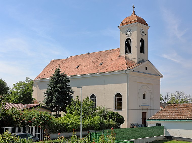
Photo: Bwag, CC BY-SA 4.0.
Breitenwaida Kirche is a church, which is situated 2½ km northeast of Digles Kreuz.
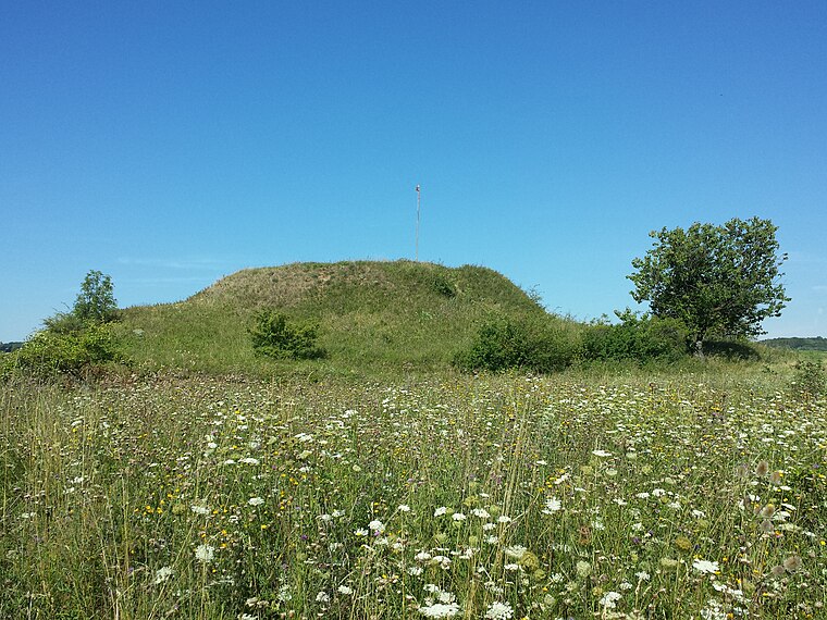
Haberg
Peak

Photo: Stefan.lefnaer, CC BY-SA 4.0.
Haberg is a peak, which is situated 2½ km southeast of Digles Kreuz.
Places in the Area
Nearby places include Raschala.
Raschala
Village

Photo: Maclemo, CC BY-SA 4.0.
Raschala is a village, which is situated 6 km northeast of Digles Kreuz.
Digles Kreuz
- Type: Memorial
- Category: historic site
- Location: Hollabrunn, Hollabrunn District, Lower Austria, Austria, Central Europe, Europe
- View on OpenStreetMap
Latitude
48.50154° or 48° 30′ 6″ northLongitude
16.04024° or 16° 2′ 25″ eastOpen location code
8FWRG22R+J3OpenStreetMap ID
node 798800479OpenStreetMap feature
historic=memorial
This page is based on OpenStreetMap, Wikidata, and Wikimedia Commons.
We’d love your help improving our open data sources. Thank you for contributing.
Satellite Map
Discover Digles Kreuz from above in high-definition satellite imagery.
Notable Places Nearby
Highlights include Freiwillige Feuerwehr Puch and Spielplatz Puch.
Nearby Places
Explore places such as Puch bei Hollabrunn Unterort and Puch bei Hollabrunn Unterort.
Lower Austria: Must-Visit Destinations
Delve into St. Pölten, Wiener Neustadt, Amstetten, and Klosterneuburg.
Curious Memorials to Discover
Uncover intriguing memorials from every corner of the globe.
About Mapcarta. Data © OpenStreetMap contributors and available under the Open Database License". Text is available under the CC BY-SA 4.0 license, except for photos, directions, and the map. Photo: Lonezor, CC BY-SA 3.0.