Cuckold’s Point
Cuckold's Point, also Cuckold's Haven, is part of a sharp bend on the River Thames on the Rotherhithe peninsula, south-east London, opposite the West India Docks and to the north of Columbia Wharf.| Tap on a place to explore it |
Places of Interest
Highlights include Westferry DLR Station and Chevron Corporation.
Westferry DLR Station
Railway station

Photo: Chris j wood, CC BY-SA 3.0.
Westferry is a Docklands Light Railway station in Limehouse in London, England. It is located in Travelcard Zone 2. To the west is Limehouse station, whilst to the east the DLR splits, with one branch going to Poplar station and the other to West India Quay station.
Chevron Corporation

Photo: InvadingInvader, CC BY-SA 4.0.
Chevron Corporation is an American multinational energy corporation predominantly specializing in oil and gas. The second-largest direct descendant of Standard Oil, and originally known as the Standard Oil Company of California, it is active in more than 180 countries.

Places in the Area
Nearby places include Limehouse and Rotherhithe.
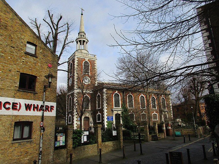
Limehouse
Suburb
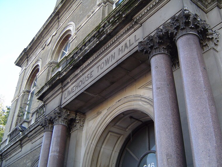
Photo: Wikimedia, CC BY-SA 3.0.
Limehouse is a district in the London Borough of Tower Hamlets in East London. It is 3.9 miles east of Charing Cross, on the northern bank of the River Thames.
Rotherhithe
Suburb
 Rotherhithe is a district of South London, England, and part of the London Borough of Southwark. It is on a peninsula on the south bank of the Thames, facing Wapping, Shadwell and Limehouse on the north bank, with the Isle of Dogs to the east.
Canary Wharf
Suburb

Photo: King of Hearts, CC BY-SA 4.0.
Canary Wharf is a privately owned financial district in London, England, located on the Isle of Dogs in the London Borough of Tower Hamlets. The Greater London Authority defines it as part of London's central business district, alongside Central London.
Cuckold’s Point
- Type: Locality
- Description: Location in Rotherhithe, London
- Category: geographic location
- Location: London Borough of Southwark, Greater London, England, United Kingdom, Britain and Ireland, Europe
- View on OpenStreetMap
Latitude
51.5055° or 51° 30′ 20″ northLongitude
-0.03284° or 0° 1′ 58″ westOpen location code
9C3XGX48+6VOpenStreetMap ID
node 8004183178OpenStreetMap feature
place=localityWikidata ID
Q5192350
This page is based on OpenStreetMap, Wikidata, Wikimedia Commons, and Wikipedia.
We’d love your help improving our open data sources. Thank you for contributing.
Satellite Map
Discover Cuckold’s Point from above in high-definition satellite imagery.
Places with the Same Name
Discover other places named “Cuckold’s Point”.
Localities in the Area
Explore places such as Acorn Walk and Blyth’s Wharf.
Notable Places Nearby
Highlights include Nelson House and Pearsons Park.
England: Must-Visit Destinations
Delve into London, Manchester, Sheffield, and Leeds.
Curious Localities to Discover
Uncover intriguing localities from every corner of the globe.
About Mapcarta. Data © OpenStreetMap contributors and available under the Open Database License". Text is available under the CC BY-SA 4.0 license, except for photos, directions, and the map. Description text is based on the Wikipedia page “Cuckold’s Point”. Photo: Loz Pycock, CC BY-SA 2.0.