Freiwillige Feuerwehr Lepahn
Freiwillige Feuerwehr Lepahn is a fire station in Lehmkuhlen, Plön, Schleswig-Holstein. Freiwillige Feuerwehr Lepahn is situated nearby to the grassland Mühlenbötz, as well as near the pond Kalter Teich.| Tap on a place to explore it |
Places of Interest Nearby
Highlights include Kapelle Sophienhof and Lebrade Pond Bird Sanctuary.
Kapelle Sophienhof
Church

Photo: Genet, CC BY-SA 3.0.
Kapelle Sophienhof is a church, which is situated 3 km west of Freiwillige Feuerwehr Lepahn.
Lebrade Pond Bird Sanctuary
Nature reserve
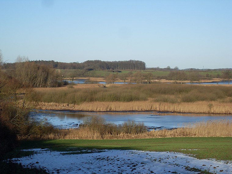
Photo: Wusel007, CC BY-SA 3.0.
The Lebrade Pond Bird Sanctuary is a nature reserve in the north German state of Schleswig-Holstein, that lies within the district of Plön, about 7 kilometres north of the town of Plön. Lebrade Pond Bird Sanctuary is situated 4 km east of Freiwillige Feuerwehr Lepahn.
Trenter See

Photo: Genet, CC BY-SA 3.0.
Trenter See is a lake in Lehmkuhlen, Kreis Plön, Schleswig-Holstein, Germany. At an elevation of, its surface area is 0.107 km2.
Places in the Area
Nearby places include Lebrade and Schellhorn.
Lebrade
Village

Photo: VollwertBIT, CC BY-SA 3.0.
Lebrade is a municipality in the district of Plön, in Schleswig-Holstein, Germany. Lebrade is situated 3 km east of Freiwillige Feuerwehr Lepahn.
Schellhorn
Village
Photo: Genet, CC BY-SA 3.0.
Schellhorn is a municipality in the district of Plön, in Schleswig-Holstein, Germany. Schellhorn is situated 5 km west of Freiwillige Feuerwehr Lepahn.
Mucheln
Village
Mucheln is a municipality in the district of Plön, in Schleswig-Holstein, Germany. Mucheln is situated 5 km northeast of Freiwillige Feuerwehr Lepahn.
Freiwillige Feuerwehr Lepahn
- Type: Fire station
- Location: Lehmkuhlen, Plön, Schleswig-Holstein, Germany, Central Europe, Europe
- View on OpenStreetMap
Latitude
54.22074° or 54° 13′ 15″ northLongitude
10.37527° or 10° 22′ 31″ eastOpen location code
9F6G69CG+74OpenStreetMap ID
node 802006596OpenStreetMap feature
amenity=fire_station
This page is based on OpenStreetMap, Wikidata, and Wikimedia Commons.
We’d love your help improving our open data sources. Thank you for contributing.
Satellite Map
Discover Freiwillige Feuerwehr Lepahn from above in high-definition satellite imagery.
Notable Places Nearby
Highlights include Mühlenbötz and Kalter Teich.
Nearby Places
Explore places such as Lepahn, Birkenweg and Lepahn, Birkenweg.
Schleswig-Holstein: Must-Visit Destinations
Delve into Kiel, Lübeck, Flensburg, and Heligoland.
Curious Fire Stations to Discover
Uncover intriguing fire stations from every corner of the globe.
About Mapcarta. Data © OpenStreetMap contributors and available under the Open Database License". Text is available under the CC BY-SA 4.0 license, except for photos, directions, and the map. Photo: Ypsilon from Finland, CC0.