Loreta’s Tropic Oasis
Loreta’s Tropic Oasis is a shop in Eastbourne District, East Sussex, England. Loreta’s Tropic Oasis is situated nearby to the shopping center The Labyrinth, as well as near the place of worship Eastbourne House.| Tap on a place to explore it |
Places of Interest Nearby
Highlights include Eastbourne railway station and Grove Road Strict Baptist Church.
Eastbourne railway station
Railway station

Photo: Theolimeister, CC BY-SA 3.0.
Eastbourne railway station serves the seaside town of Eastbourne in East Sussex, England. It is on the East Coastway Line. The station is managed by Southern, who operate all trains serving it. Eastbourne railway station is situated 520 feet north of Loreta’s Tropic Oasis.
Grove Road Strict Baptist Church
Church
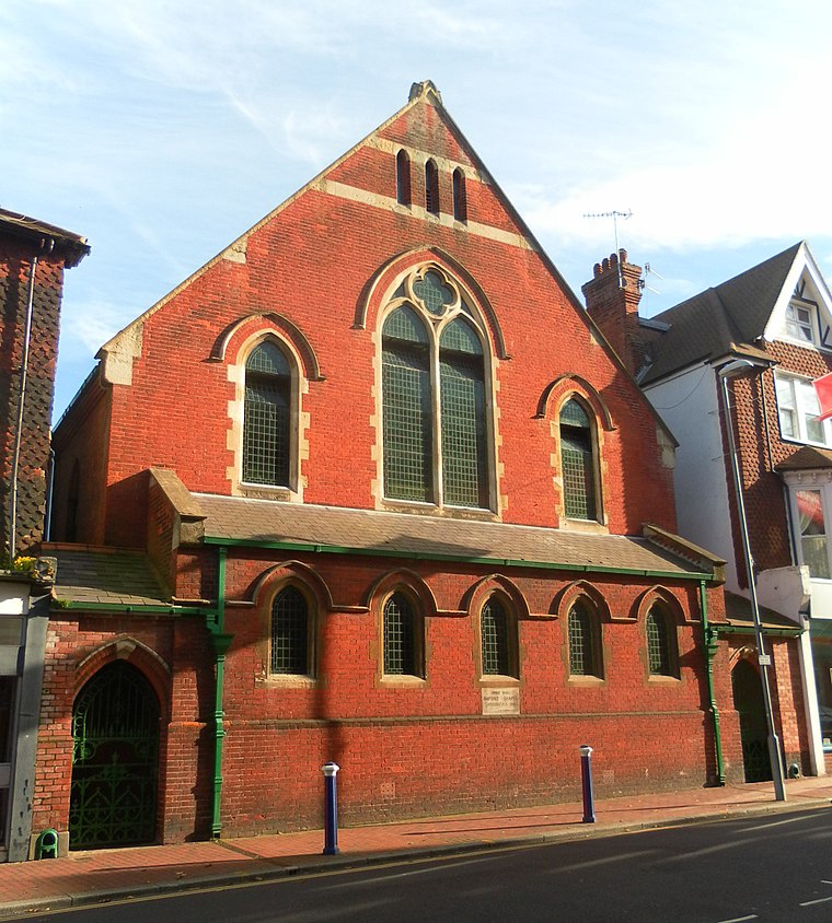
Photo: The Voice of Hassocks, CC0.
The Grove Road Strict Baptist Church, is a Strict Baptist place of worship in the town of Eastbourne in the English county of East Sussex. The chapel was built in 1881. Grove Road Strict Baptist Church is situated 620 feet west of Loreta’s Tropic Oasis.
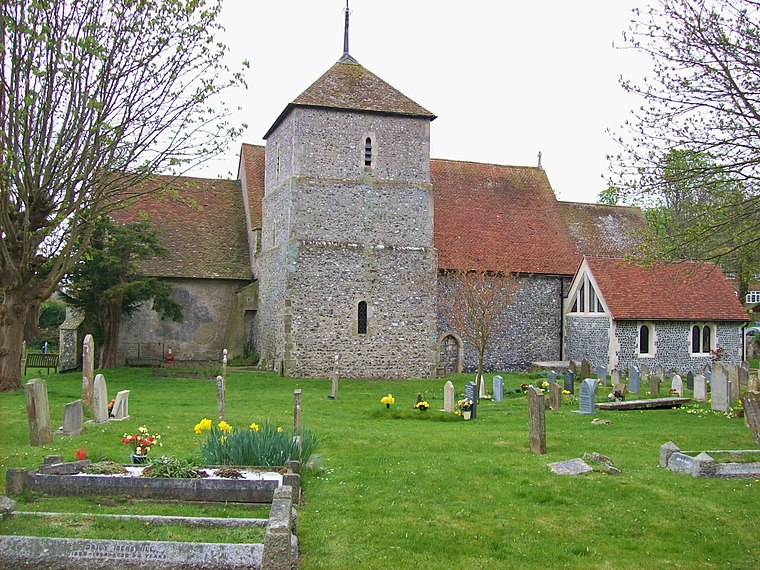
St Saviour’s Church
Church

Photo: The Voice of Hassocks, CC0.
St Saviour's Church is a Church of England parish church in Eastbourne, East Sussex. The church is a grade II* listed building which was designed by G. E. Street. St Saviour’s Church is situated 870 feet south of Loreta’s Tropic Oasis.
Places in the Area
Nearby places include Eastbourne and East Dean.
Eastbourne

Photo: Diliff, CC BY-SA 3.0.
Eastbourne is a popular and traditional sea-side resort town in East Sussex, on England's South East coast. It has one of the highest recorded days of sunshine per year in Britain and its climate is notable for its relatively high sunshine levels, with the town claiming to be the "Sunniest Place in the UK".
Friston
Village
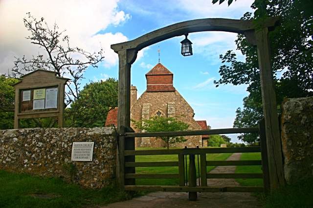
Photo: Toby Speight, CC BY-SA 2.0.
East Dean and Friston is a civil parish in the Wealden District of East Sussex, England.The two villages in the parish are in a dry valley on the South Downs – between Eastbourne three miles to the east and Seaford an equal distance to the west. Friston is situated 3½ miles west of Loreta’s Tropic Oasis.
Loreta’s Tropic Oasis
Latitude
50.7683° or 50° 46′ 6″ northLongitude
0.28231° or 0° 16′ 56″ eastOpen location code
9F22Q79J+8WOpenStreetMap ID
node 8048945674OpenStreetMap feature
shop=yes
This page is based on OpenStreetMap, Wikidata, and Wikimedia Commons.
We’d love your help improving our open data sources. Thank you for contributing.
Satellite Map
Discover Loreta’s Tropic Oasis from above in high-definition satellite imagery.
Notable Places Nearby
Highlights include The Labyrinth and Eastbourne House.
Nearby Places
Explore places such as Digital Assembly and Nail L.A.N.D..
East Sussex: Must-Visit Destinations
Delve into Brighton, Eastbourne, Hastings, and Lewes.
Curious Shops to Discover
Uncover intriguing shops from every corner of the globe.
About Mapcarta. Data © OpenStreetMap contributors and available under the Open Database License". Text is available under the CC BY-SA 4.0 license, except for photos, directions, and the map. Photo: matthewhartley369, CC BY-SA 2.0.