Thomas Fowell Buxton
Thomas Fowell Buxton is a memorial in Tower Hamlets, Greater London, England which is located on Brick Lane. Thomas Fowell Buxton is situated nearby to the music store Rough Trade East, as well as near the marketplace The Tea Rooms.| Tap on a place to explore it |
- Type: Memorial
- Address: Brick Lane, London
- Inscription: “ENGLISH HERITAGE Sir THOMAS FOWELL BUXTON 1786-1845 Anti-Slavery Campaigner lived and worked here”
Places of Interest Nearby
Highlights include The Tower of London and Shoreditch High Street railway station.
The Tower of London

Photo: Aniacra, CC BY-SA 4.0.
The Tower of London, officially His Majesty's Royal Palace and Fortress of the Tower of London, is a historic citadel and castle on the north bank of the River Thames in London, England. The Tower of London is situated 1 mile south of Thomas Fowell Buxton.
Shoreditch High Street railway station
Railway station

Photo: Sunil060902, CC BY-SA 3.0.
Shoreditch High Street is a station on the Windrush line of the London Overground, located on Bethnal Green Road in Shoreditch, East London. Situated in Travelcard Zone 1, it is located between Whitechapel and Hoxton stations. Shoreditch High Street railway station is situated 950 feet northwest of Thomas Fowell Buxton.
Brick Lane Mosque
Mosque

Photo: Bobulous, CC BY-SA 4.0.
Brick Lane Mosque or Brick Lane Jamme Masjid, formerly known as the London Jamme Masjid, is a Muslim place of worship in Central London and is in the East End of London which serves the British Bangladeshi community. Brick Lane Mosque is situated 640 feet south of Thomas Fowell Buxton.
Places in the Area
Nearby places include Spitalfields and Mile End New Town.
Spitalfields
Quarter
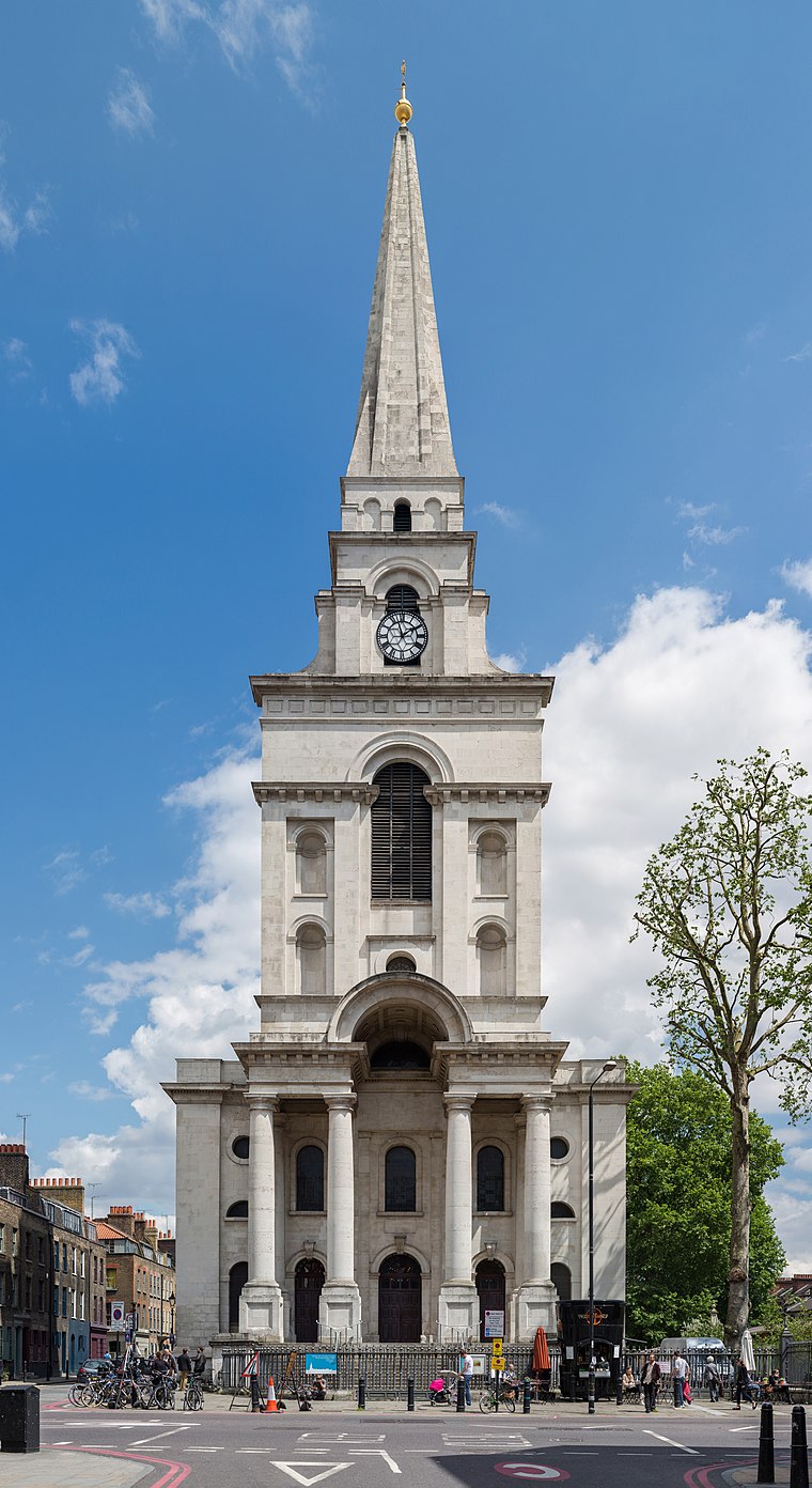
Photo: Diliff, CC BY-SA 3.0.
Spitalfields is an area in London, England and is located in the London Borough of Tower Hamlets. It is in East London and situated in the East End. Spitalfields is formed around Commercial Street and Brick Lane.
Mile End New Town
Locality
Mile End New Town is a former hamlet and then civil parish in the East End of London. Its former area is now part of the London Borough of Tower Hamlets.
Boundary Estate
Neighborhood

Photo: Rodney Burton, CC BY-SA 2.0.
The Boundary Estate is a housing development in the London Borough of Tower Hamlets, in the East End of London. The estate, constructed from 1890, was one of the earliest social housing schemes built by a local government authority.
Thomas Fowell Buxton
- Category: historic site
- Location: Tower Hamlets, Greater London, England, United Kingdom, Britain and Ireland, Europe
- View on OpenStreetMap
Latitude
51.5212° or 51° 31′ 16″ northLongitude
-0.0719° or 0° 4′ 19″ westOpen location code
9C3XGWCH+F6OpenStreetMap ID
node 8059687225OpenStreetMap feature
historic=memorial
This page is based on OpenStreetMap, Wikidata, and Wikimedia Commons.
We’d love your help improving our open data sources. Thank you for contributing.
Satellite Map
Discover Thomas Fowell Buxton from above in high-definition satellite imagery.
Notable Places Nearby
Highlights include Rough Trade East and The Tea Rooms.
Nearby Places
Explore places such as High Grade Coffee and L-P Archaeology.
England: Must-Visit Destinations
Delve into London, Manchester, Sheffield, and Leeds.
Curious Memorials to Discover
Uncover intriguing memorials from every corner of the globe.
About Mapcarta. Data © OpenStreetMap contributors and available under the Open Database License". Text is available under the CC BY-SA 4.0 license, except for photos, directions, and the map. Photo: sidibousaid, CC BY 2.0.