Fir Close
Fir Close is a bus stop in Scarcliffe, Bolsover District, England. Fir Close is situated nearby to the school Shirebrook Academy, as well as near Recreation Road Post Office.| Tap on a place to explore it |
Places of Interest Nearby
Highlights include Shirebrook Academy and Church of the Holy Cross.
Shirebrook Academy
School
Shirebrook Academy is a coeducational secondary school with academy status, located in Shirebrook in the county of Derbyshire, and is part of the Aston Community Education Trust. Shirebrook Academy is situated 1,000 feet southwest of Fir Close.
Church of the Holy Cross
Church

Photo: John Slater, CC BY-SA 2.0.
Church of the Holy Cross is situated 2,100 feet north of Fir Close.
Shirebrook railway station
Railway station
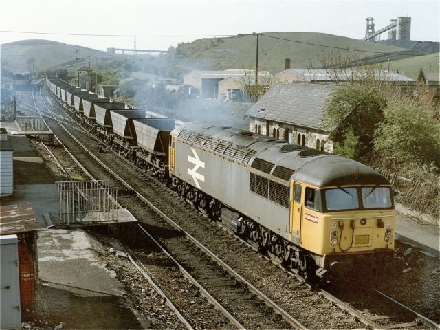
Photo: Dave Hitchborne, CC BY-SA 2.0.
Shirebrook railway station serves the town of Shirebrook in Derbyshire, England. The station is on the Robin Hood Line, 21½ miles north of Nottingham towards Worksop. Shirebrook railway station is situated 1 mile southeast of Fir Close.
Places in the Area
Nearby places include Shirebrook and Whaley Thorns.
Shirebrook
Town

Photo: al partington, CC BY-SA 2.0.
Shirebrook is a town and civil parish in the Bolsover District of Derbyshire, England. It had a population of 13,300 at the 2021 Census. The town is on the B6407 road and close to the A632 road which runs between the towns of Mansfield, Worksop and Bolsover.
Whaley Thorns
Village

Photo: Dave Bevis, CC BY-SA 2.0.
Whaley Thorns is a former colliery village in the Bolsover district of Derbyshire, England, close to the Nottinghamshire border. Whaley Thorns lies just north of Nether Langwith and Langwith, 1.5 miles south-east of Creswell, and west of Cuckney. Whaley Thorns is situated 1½ miles northeast of Fir Close.
Warsop Vale
Village
Warsop Vale is a village in the Mansfield district of western Nottinghamshire, England. It is 18 miles north of Nottingham, and 5 miles north of Mansfield. Warsop Vale is situated 2 miles east of Fir Close.
Fir Close
- Type: Bus stop
- Category: transportation
- Location: Scarcliffe, Bolsover District, Derbyshire, East Midlands, England, United Kingdom, Britain and Ireland, Europe
- View on OpenStreetMap
Latitude
53.21291° or 53° 12′ 47″ northLongitude
-1.2222° or 1° 13′ 20″ westOpen location code
9C5W6Q7H+54OpenStreetMap ID
node 8077932788OpenStreetMap feature
highway=bus_stopOpenStreetMap feature
public_transport=platform
This page is based on OpenStreetMap, Wikidata, and Wikimedia Commons.
We’d love your help improving our open data sources. Thank you for contributing.
Satellite Map
Discover Fir Close from above in high-definition satellite imagery.
Notable Places Nearby
Highlights include Recreation Road Post Office and Langwith Bassett Junior Academy.
Nearby Places
Explore places such as Albine Road 36 and Bramble Close.
Derbyshire: Must-Visit Destinations
Delve into Derby, Chesterfield, Matlock, and Buxton.
Curious Bus Stops to Discover
Uncover intriguing bus stops from every corner of the globe.
About Mapcarta. Data © OpenStreetMap contributors and available under the Open Database License". Text is available under the CC BY-SA 4.0 license, except for photos, directions, and the map. Photo: sidibousaid, CC BY 2.0.