Alef Confectionery
Alef Confectionery is a confectionery store in Tehran, Central Iran. Alef Confectionery is situated nearby to the mosque مسجد باقرالعلوم, as well as near the grassland زمین چمن مصنوعی صحرا.| Tap on a place to explore it |
Places of Interest Nearby
Highlights include Ketab Square metro station and Parvaz Park.
Ketab Square metro station
Metro station

Photo: Aghahari, CC BY-SA 4.0.
Ketab Square metro station is situated 600 metres east of Alef Confectionery.

Tehran Stock Exchange

Photo: GTVM92, CC BY-SA 4.0.
The Tehran Stock Exchange is Iran's largest stock exchange, which first opened in 1967. The TSE is based in Tehran. TSE, which is a founding member of the Federation of Euro-Asian Stock Exchanges, has been one of the world's best performing stock exchanges in the years 2002 through 2013. Tehran Stock Exchange is situated 1½ km east of Alef Confectionery.
Places in the Area
Nearby places include District 2 and Almahdi - Simun Bolivar.
District 2
Suburb

Photo: Blondinrikard Fröberg, CC BY 2.0.
District 2 of Tehran Municipality, is one of 2 municipality districts of Tehran, which is located in Northeast of Azadi Sq. It stretches from West to Northwest and Azadi St. to South, to Ashrafi Esfahani Highway and Mohammad Ali Jenah Expressway to West, and Chamran Highway to East.
Almahdi - Simun Bolivar
Neighborhood
Simon Bolivar, also called Almahdi, is an affluent neighborhood in north western Tehran located on the hills of Alborz Mountains. Due to the latest census held in Tehran, the hood is home to 53000 people in a 1.36 square kilometers wide area.
Punak
Neighborhood
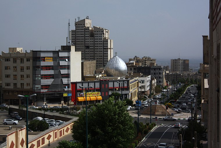
Photo: Blondin Rikard, CC BY 2.0.
Punak is a high-class and luxurious neighborhood in north Tehran, the capital city of Iran. The name of one of the most expensive and promising neighborhoods in the city of Tehran, located in the northwest.
Alef Confectionery
- Type: Confectionery store
- Categories: shop and food
- Location: Tehran, Central Iran, Iran, Middle East, Asia
- View on OpenStreetMap
Latitude
35.77636° or 35° 46′ 35″ northLongitude
51.34941° or 51° 20′ 58″ eastOpen location code
8H7HQ8GX+GQOpenStreetMap ID
node 8111857946OpenStreetMap feature
shop=confectionery
This page is based on OpenStreetMap, Wikidata, and Wikimedia Commons.
We’d love your help improving our open data sources. Thank you for contributing.
Satellite Map
Discover Alef Confectionery from above in high-definition satellite imagery.
Notable Places Nearby
Highlights include مسجد باقرالعلوم and زمین چمن مصنوعی صحرا.
Nearby Places
Explore places such as Sahra and car repair shop - firozy.
Tehran: Must-Visit Destinations
Delve into Tehran, Ray, Varamin, and Damavand.
Curious Confectionery Stores to Discover
Uncover intriguing confectionery stores from every corner of the globe.
About Mapcarta. Data © OpenStreetMap contributors and available under the Open Database License". Text is available under the CC BY-SA 4.0 license, except for photos, directions, and the map. Photo: Wikimedia, CC0.