Mörscher-/Hohenwiesenstraße Nord
Mörscher-/Hohenwiesenstraße Nord is a bike rental in Ettlingen, Karlsruhe, Baden-Württemberg. Mörscher-/Hohenwiesenstraße Nord is situated nearby to the government office Straßenmeisterei Ettlingen, as well as near Entenseepark.| Tap on a place to explore it |
- Opening hours: 24/7
- Email: kundenservice@nextbike.de
- Type: Bike rental
Places of Interest Nearby
Highlights include Our Lady Church and Ettlingen West.
Our Lady Church
Church
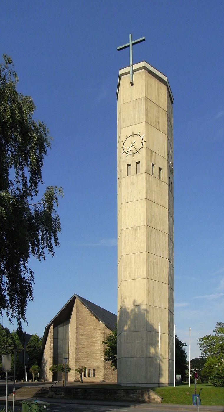
Photo: Aisano, CC BY-SA 3.0.
Our Lady Church is situated 640 metres east of Mörscher-/Hohenwiesenstraße Nord.
Ettlingen West
Railway station

Photo: Sitacuisses, CC BY-SA 3.0 de.
Ettlingen West is a railway station, which is situated 1 km east of Mörscher-/Hohenwiesenstraße Nord.
Hans-Bretz-Stadion
Stadium

Photo: Püppen, CC BY-SA 4.0.
Hans-Bretz-Stadion is a stadium, which is situated 2 km southeast of Mörscher-/Hohenwiesenstraße Nord.
Places in the Area
Nearby places include Rheinstetten and Spessart.
Rheinstetten
Town

Photo: DALIBRI, CC BY-SA 4.0.
Rheinstetten is a town in the west of Baden-Württemberg on the border to Rhineland-Palatinate. It is situated to the south-west of Karlsruhe and belongs to the rural district of Karlsruhe. Rheinstetten is situated 5 km northwest of Mörscher-/Hohenwiesenstraße Nord.
Spessart
Village

Photo: Elwood j blues, CC BY-SA 3.0.
Spessart is a village, which is situated 6 km southeast of Mörscher-/Hohenwiesenstraße Nord.
Wolfartsweier
Suburb
Wolfartsweier is a village and a quarter of Karlsruhe, Baden-Württemberg, Germany. Its population is 3,068. It was first mentioned in 1261 AD under the name of "Wolvoldeswilere". Wolfartsweier is situated 7 km northeast of Mörscher-/Hohenwiesenstraße Nord.
Mörscher-/Hohenwiesenstraße Nord
- Category: transportation
- Location: Ettlingen, Karlsruhe, Karlsruhe Region, Rhine-Neckar, Baden-Württemberg, Germany, Central Europe, Europe
- View on OpenStreetMap
Latitude
48.94907° or 48° 56′ 57″ northLongitude
8.37597° or 8° 22′ 34″ eastBrand
KVV.nextbikeOperator
NextbikeNetwork
KVV.nextbikeOpen location code
8FWCW9XG+J9OpenStreetMap ID
node 8118539000OpenStreetMap feature
amenity=bicycle_rental
This page is based on OpenStreetMap, Wikidata, and Wikimedia Commons.
We’d love your help improving our open data sources. Thank you for contributing.
Satellite Map
Discover Mörscher-/Hohenwiesenstraße Nord from above in high-definition satellite imagery.
Notable Places Nearby
Highlights include Straßenmeisterei Ettlingen and Entenseepark.
Nearby Places
Explore places such as Ettlingen Kiefernweg and tipwin.
Rhine-Neckar: Must-Visit Destinations
Delve into Heidelberg, Karlsruhe, Mannheim, and Heilbronn.
Curious Bike Rentals to Discover
Uncover intriguing bike rentals from every corner of the globe.
About Mapcarta. Data © OpenStreetMap contributors and available under the Open Database License". Text is available under the CC BY-SA 4.0 license, except for photos, directions, and the map. Photo: Martin-D, CC BY-SA 2.5.