Old Rawsonville Village Historical Marker
Old Rawsonville Village Historical Marker is a memorial in Wayne County, Michigan. Old Rawsonville Village Historical Marker is situated nearby to Community Garden, as well as near the theater building Stage.| Tap on a place to explore it |
Places of Interest Nearby
Highlights include Willow Run Airport and Lakeview Park.
Willow Run Airport
Aerodrome

Photo: USGS, Public domain.
Willow Run Airport is an airport in Van Buren Charter Township and Ypsilanti Charter Township, near Ypsilanti, Michigan, United States, that serves freight, corporate, and general aviation. Willow Run Airport is situated 1½ miles northeast of Old Rawsonville Village Historical Marker.

Michigan Flight Museum
Museum

Photo: PeRshGo, CC BY-SA 4.0.
The Michigan Flight Museum, formerly known as the Yankee Air Museum, is an aviation museum located at Willow Run Airport, and in Ypsilanti Township, Michigan. The museum has a small fleet of flying aircraft and a collection of static display aircraft outdoors. Michigan Flight Museum is situated 2½ miles northeast of Old Rawsonville Village Historical Marker.
Places in the Area
Nearby places include Rawsonville and Belleville.
Rawsonville
Hamlet
Rawsonville is an unincorporated community on the boundary of Washtenaw and Wayne County in the U.S. state of Michigan. Small parts of the historic community of Rawsonville lie under Belleville Lake, which is an artificial reservoir created in 1925 when the Eastern Michigan Edison Company built the French Landing Dam and Powerhouse along the Huron River.
Belleville
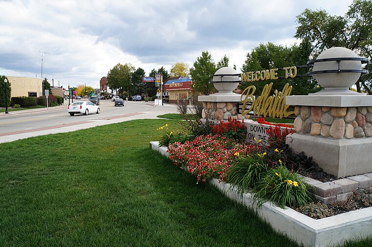
Photo: PeRshGo, CC BY-SA 3.0.
Belleville is a city in Wayne County, Michigan, United States. A western suburb of Detroit, Belleville is located roughly 29 miles southwest of downtown Detroit, and 18 miles southeast of Ann Arbor, and is completely surrounded by Van Buren Township.
Charter Township of Van Buren
Town
 Van Buren Township is a charter township in Wayne County in the U.S. state of Michigan. A western suburb of Detroit, Van Buren Township is located roughly 28 miles southwest of downtown Detroit, and 17 miles southeast of Ann Arbor. Charter Township of Van Buren is situated 3 miles east of Old Rawsonville Village Historical Marker.
Old Rawsonville Village Historical Marker
- Type: Memorial
- Category: historic site
- Location: Wayne County, Michigan, Midwest, United States, North America
- View on OpenStreetMap
Latitude
42.21445° or 42° 12′ 52″ northLongitude
-83.54331° or 83° 32′ 36″ westInception
January 7th, 2010Operator
Michigan Historical CommissionOpen location code
86JR6F74+QMOpenStreetMap ID
node 8141074082OpenStreetMap feature
historic=memorial
This page is based on OpenStreetMap, Wikidata, and Wikimedia Commons.
We’d love your help improving our open data sources. Thank you for contributing.
Satellite Map
Discover Old Rawsonville Village Historical Marker from above in high-definition satellite imagery.
Places with the Same Name
Discover other places named “Old Rawsonville Village Historical Marker”.
Notable Places Nearby
Highlights include Community Garden and Stage.
Nearby Places
Explore places such as Wendy’s and KFC.
Wayne County: Must-Visit Destinations
Delve into Detroit, Dearborn, Downtown Detroit, and Livonia.
Curious Memorials to Discover
Uncover intriguing memorials from every corner of the globe.
About Mapcarta. Data © OpenStreetMap contributors and available under the Open Database License". Text is available under the CC BY-SA 4.0 license, except for photos, directions, and the map. Photo: Wikimedia, CC0.