Autoservicio El Rodeo
Autoservicio El Rodeo is a convenience store in Oliva de la Frontera, Badajoz, Extremadura. Autoservicio El Rodeo is situated nearby to the pitch Pista Deportiva, as well as near the park Plaza de Juan XXIII.| Tap on a place to explore it |
Places in the Area
Nearby places include Zahínos.
Zahínos
Village
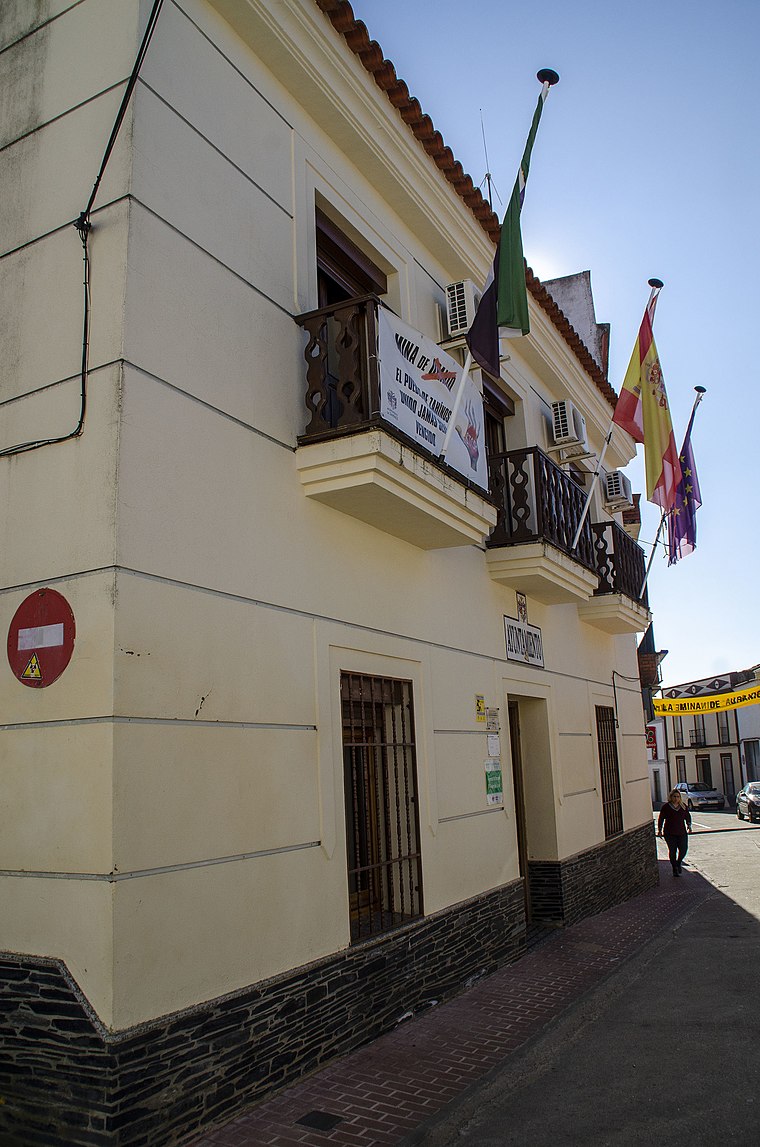 Zahínos is a municipality located in the southwestern corner of the province of Badajoz, Extremadura, Spain. It is located close to the border with Portugal. According to the 2014 census, the municipality has a population of 2864 inhabitants. Zahínos is situated 6 km northwest of Autoservicio El Rodeo.
Autoservicio El Rodeo
- Type: Convenience store
- Categories: shop and food
- Location: Oliva de la Frontera, Badajoz, Extremadura, Central Spain, Spain, Iberia, Europe
- View on OpenStreetMap
Latitude
38.27993° or 38° 16′ 48″ northLongitude
-6.92005° or 6° 55′ 12″ westOpen location code
8CCM73HH+XXOpenStreetMap ID
node 8192448892OpenStreetMap feature
shop=convenience
This page is based on OpenStreetMap, Wikidata, and Wikimedia Commons.
We’d love your help improving our open data sources. Thank you for contributing.
Satellite Map
Discover Autoservicio El Rodeo from above in high-definition satellite imagery.
Notable Places Nearby
Highlights include Plaza de Juan XXIII and Pista Deportiva.
Nearby Places
Explore places such as Quesos Artesanos Dehesa de Oliva and Talleres Coronado.
Extremadura: Must-Visit Destinations
Delve into Mérida, Badajoz, Caceres, and Plasencia.
Curious Convenience Stores to Discover
Uncover intriguing convenience stores from every corner of the globe.
About Mapcarta. Data © OpenStreetMap contributors and available under the Open Database License". Text is available under the CC BY-SA 4.0 license, except for photos, directions, and the map. Photo: LBM1948, CC BY 4.0.