Kebab Saint-Germain
Kebab Saint-Germain is a fast food restaurant in Saint-Germain-sur-Morin, Arrondissement of Torcy, Île-de-France. Kebab Saint-Germain is situated nearby to the church Église Saint-Germain de Saint-Germain-sur-Morin, as well as near Town hall of Saint-Germain-sur-Morin.| Tap on a place to explore it |
Places of Interest Nearby
Highlights include Town hall of Saint-Germain-sur-Morin and Église Saint-Germain de Saint-Germain-sur-Morin.

Église Saint-Germain de Saint-Germain-sur-Morin
Church

Photo: Benjism89, CC BY-SA 3.0.
Église Saint-Germain de Saint-Germain-sur-Morin is a church.
Gare de Couilly - Saint-Germain - Quincy
Railway stop

Photo: Geralix, CC BY-SA 3.0.
Gare de Couilly - Saint-Germain - Quincy is a railway stop, which is situated 180 metres east of Kebab Saint-Germain.
Places in the Area
Nearby places include Magny-le-Hongre and Coupvray.
Magny-le-Hongre
Village
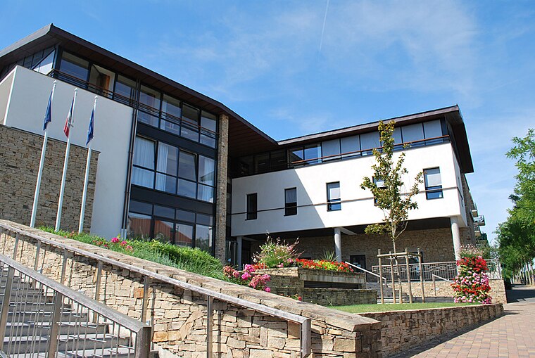
Photo: Mairiemagnylehongre, CC BY-SA 3.0.
Magny-le-Hongre is a commune in the Seine-et-Marne department in the Île-de-France region in north-central France. It is part of Val d'Europe Agglomération together with the communes of Bailly-Romainvilliers, Chessy, Coupvray and Serris. Magny-le-Hongre is situated 3½ km southwest of Kebab Saint-Germain.
Coupvray
Village

Photo: Romain D C, CC BY-SA 3.0.
Coupvray is a commune in the Seine-et-Marne department in the Île-de-France region in north-central France about 30kms east of Paris. Coupvray is situated 4½ km west of Kebab Saint-Germain.
Serris
Town

Photo: Rcsmit, CC BY-SA 3.0.
Serris is a commune in the Seine-et-Marne department in the Île-de-France region in north-central France. The area has an outlet mall known as La Vallée Village. Serris is situated 6 km southwest of Kebab Saint-Germain.
Kebab Saint-Germain
- Type: Fast food restaurant
- Categories: food and restaurant
- Location: Saint-Germain-sur-Morin, Arrondissement of Torcy, Seine-et-Marne, Île-de-France, France, Europe
- View on OpenStreetMap
Latitude
48.88302° or 48° 52′ 59″ northLongitude
2.85185° or 2° 51′ 7″ eastOpen location code
8FW4VVM2+6POpenStreetMap ID
node 8205162142OpenStreetMap feature
amenity=fast_food
This page is based on OpenStreetMap, Wikidata, and Wikimedia Commons.
We’d love your help improving our open data sources. Thank you for contributing.
Satellite Map
Discover Kebab Saint-Germain from above in high-definition satellite imagery.
Places with the Same Name
Discover other places named “Kebab Saint-Germain”.
Notable Places Nearby
Highlights include Police municipale and Festiv’Halle.
Nearby Places
Explore places such as Topolino pizza and Café l’Alliance.
Île-de-France: Must-Visit Destinations
Delve into Paris, Versailles, Boulogne-Billancourt, and Paris Charles de Gaulle Airport.
Curious Fast Food Restaurants to Discover
Uncover intriguing fast food restaurants from every corner of the globe.
About Mapcarta. Data © OpenStreetMap contributors and available under the Open Database License". Text is available under the CC BY-SA 4.0 license, except for photos, directions, and the map. Photo: Romain D C, CC BY-SA 3.0.