Clicky Media
Clicky Media is an office in Cheshire, England. Clicky Media is situated nearby to Rufus Court, as well as near the city gate Northgate.| Tap on a place to explore it |
Places of Interest Nearby
Highlights include Chester Cathedral and Northgate.
Chester Cathedral
Church

Photo: Wikimedia, CC BY-SA 3.0.
Chester Cathedral is a Church of England cathedral and the mother church of the Diocese of Chester. It is located in the city of Chester, Cheshire, England. Chester Cathedral is situated 1,100 feet south of Clicky Media.
Northgate
City gate
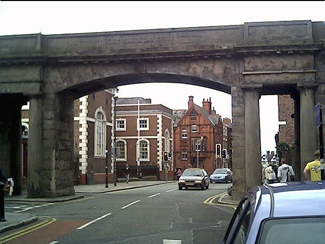
Photo: Wikimedia, CC BY-SA 2.0.
The Northgate is a gate located in Chester, Cheshire, England, where it carries the city walls footpath over Northgate Street. It is recorded in the National Heritage List for England as a designated Grade I listed building. Northgate is situated 490 feet southwest of Clicky Media.
Bridge of Sighs
Bridge
 The Bridge of Sighs in Chester is a crossing that originally led from the Northgate jail, across the Chester Canal, to a chapel in the Bluecoat School. Bridge of Sighs is situated 550 feet southwest of Clicky Media.
Places in the Area
Nearby places include Chester and Abbot’s Meads.
Chester

Photo: AlasdairW, CC BY-SA 3.0.
Chester is a very pretty and historic English city on the river Dee, and the county town of the North-Western county of Cheshire. Although maybe not worth a whole holiday, it's well worth a day or overnight trip to see the Roman ruins and medieval city centre.
Abbot’s Meads
Suburb

Photo: Wikimedia, CC BY-SA 2.0.
Abbot's Meads is a suburb of Chester in Cheshire, England. Abbot's Meads is north-west of Chester city centre. The Countess of Chester Hospital is nearby. The population as taken in the 2011 census can be found under Chester.
Saltney
Suburb

Photo: Dennis Turner, CC BY-SA 2.0.
Saltney is a town straddling the counties of Flintshire and Cheshire on the England–Wales border. The local government community of Saltney lies entirely in Wales, while the English areas are unparished. Saltney is situated 2 miles southwest of Clicky Media.
Clicky Media
- Type: Information technology
- Category: office
- Location: Cheshire, England, United Kingdom, Britain and Ireland, Europe
- View on OpenStreetMap
Latitude
53.19467° or 53° 11′ 41″ northLongitude
-2.89161° or 2° 53′ 30″ westOpen location code
9C5V54V5+V9OpenStreetMap ID
node 8229447970OpenStreetMap feature
office=it
This page is based on OpenStreetMap, Wikidata, and Wikimedia Commons.
We’d love your help improving our open data sources. Thank you for contributing.
Satellite Map
Discover Clicky Media from above in high-definition satellite imagery.
Notable Places Nearby
Highlights include Rufus Court and Bluecoat School.
Nearby Places
Explore places such as Delamere Street Car Park and Gorse Stacks (West) Car Park.
England: Must-Visit Destinations
Delve into London, Manchester, Sheffield, and Leeds.
Curious Places to Discover
Uncover intriguing places from every corner of the globe.
About Mapcarta. Data © OpenStreetMap contributors and available under the Open Database License". Text is available under the CC BY-SA 4.0 license, except for photos, directions, and the map. Photo: sidibousaid, CC BY 2.0.