Dealul Rotbav
Dealul Rotbav is a peak in Comuna Şoarş, Brașov County and has an elevation of 696 metres. Dealul Rotbav is situated nearby to the village Seliștat, as well as near Cincu.| Tap on a place to explore it |
Places of Interest
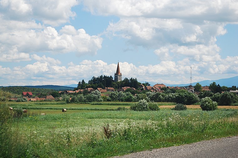
Highlights include Fortified church in Seliștat, Brașov.

Places in the Area
Nearby places include Seliștat and Cincu.

Dealul Rotbav
- Type: Peak with an elevation of 696 metres
- Category: landform
- Location: Comuna Şoarş, Brașov County, Transylvania, Romania, Balkans, Europe
- View on OpenStreetMap
Latitude
45.966° or 45° 57′ 58″ northLongitude
24.8456° or 24° 50′ 44″ eastElevation
696 metres (2,283 feet)Open location code
8GQ6XR8W+96OpenStreetMap ID
node 8244636327OpenStreetMap feature
natural=peak
This page is based on OpenStreetMap, Wikidata, and Wikimedia Commons.
We’d love your help improving our open data sources. Thank you for contributing.
Satellite Map
Discover Dealul Rotbav from above in high-definition satellite imagery.
In Other Languages
“Dealul Rotbav” goes by many names.
- Hungarian: “Szélmalom-hegy”
Localities in the Area
Explore places such as Băile Rodbav and Bărcut.
Notable Places Nearby
Highlights include Poligonul Cincu and The Fortified Church of Cincu.
Brașov County: Must-Visit Destinations
Delve into Brașov, Făgăraș, Râșnov, and Săcele.
Curious Peaks to Discover
Uncover intriguing peaks from every corner of the globe.
About Mapcarta. Data © OpenStreetMap contributors and available under the Open Database License". Text is available under the CC BY-SA 4.0 license, except for photos, directions, and the map. Photo: Wikimedia, CC0.