Assut de Sant Antoni
Assut de Sant Antoni is a weir in Elche, Costa Blanca, Valencian Community. Assut de Sant Antoni is situated nearby to the reservoir Bassa del Peix, as well as near the sports venue Masquepadel.| Tap on a place to explore it |
Places of Interest Nearby
Highlights include Estadio Martínez Valero and Multisport pavillion Esperanza Lag.
Estadio Martínez Valero
Stadium
 The Estadio Martínez Valero is a stadium located in the Spanish city of Elche in the province of Alicante, Valencian Community. It is the home stadium of Elche CF, a team that is currently playing in Primera División, LaLiga. Estadio Martínez Valero is situated 2½ km south of Assut de Sant Antoni.
Multisport pavillion Esperanza Lag
Stadium

Photo: Wikimedia, CC BY-SA 4.0.
Multisport pavillion Esperanza Lag is a stadium, which is situated 2 km south of Assut de Sant Antoni.
Elx Parc train station
Railway station
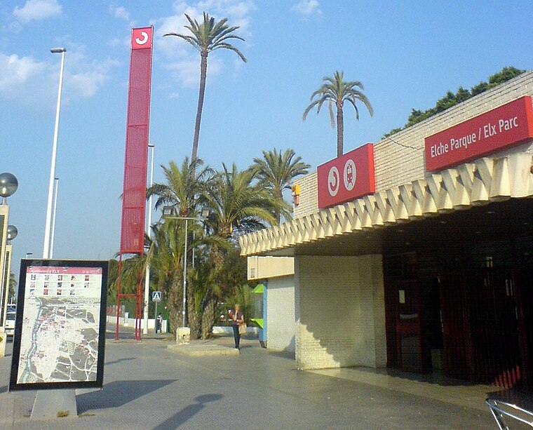
Photo: Josecarlosdiez, CC BY-SA 4.0.
Elx Parc train station is a railway station, which is situated 2½ km southwest of Assut de Sant Antoni.
Places in the Area
Nearby places include el Raval de Sant Joan and la Foia.
el Raval de Sant Joan
Neighborhood

Photo: Espencat, Public domain.
el Raval de Sant Joan is a neighborhood, which is situated 4 km southwest of Assut de Sant Antoni.
la Foia
Village

Photo: Santi.ibarra, CC BY-SA 4.0.
la Foia is a village, which is situated 9 km south of Assut de Sant Antoni.
Assut de Sant Antoni
- Type: Weir
- Location: Elche, Costa Blanca, Alicante, Valencian Community, Eastern Spain, Spain, Iberia, Europe
- View on OpenStreetMap
Latitude
38.28995° or 38° 17′ 24″ northLongitude
-0.67469° or 0° 40′ 29″ westOpen location code
8CCX78QG+X4OpenStreetMap ID
node 8267034977OpenStreetMap feature
waterway=weir
This page is based on OpenStreetMap, Wikidata, and Wikimedia Commons.
We’d love your help improving our open data sources. Thank you for contributing.
Satellite Map
Discover Assut de Sant Antoni from above in high-definition satellite imagery.
In Other Languages
“Assut de Sant Antoni” goes by many names.
- Catalan: “Assut de Sant Antoni”
Notable Places Nearby
Highlights include Bassa del Peix and Masquepadel.
Nearby Places
Explore places such as l’Alcoraia and Gasolinera.
Costa Blanca: Must-Visit Destinations
Delve into Alicante, Benidorm, Torrevieja, and Dénia.
Curious Weirs to Discover
Uncover intriguing weirs from every corner of the globe.
About Mapcarta. Data © OpenStreetMap contributors and available under the Open Database License". Text is available under the CC BY-SA 4.0 license, except for photos, directions, and the map. Photo: Wikimedia, CC0.