Les Bruyères Montoises
Les Bruyères Montoises is a locality in Saint-Ghislain, Arrondissement of Mons, Wallonia. Les Bruyères Montoises is situated nearby to the village Hautrage-État, as well as near Ville-Pommerœul.| Tap on a place to explore it |
Places of Interest
Highlights include Hautrage Military Cemetery and Ville-Pommerœul railway station.

Ville-Pommerœul railway station
Railway stop

Photo: Japplemedia, CC BY-SA 4.0.
Ville-Pommerœul railway station is a railway stop, which is situated 2½ km west of Les Bruyères Montoises.
Boussu railway station
Railway stop
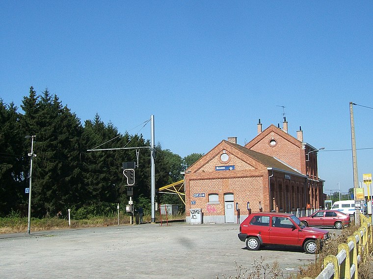
Photo: LHOON, CC BY-SA 3.0.
Boussu railway station is a railway stop, which is situated 4 km southeast of Les Bruyères Montoises.
Places in the Area
Nearby places include Hautrage and Ville-Pommerœul.

Ville-Pommerœul
Village

Photo: Jean-Pol GRANDMONT, CC BY 3.0.
Ville-Pommerœul is a village, which is situated 2½ km west of Les Bruyères Montoises.
Pommerœul
Village
Pommerœul is a village of Wallonia and a district of the municipality of Bernissart located in the province of Hainaut, Belgium. It was a separate municipality until it merged in 1977. It is known for its Gallo-Roman ruins. Pommerœul is situated 3½ km west of Les Bruyères Montoises.
Les Bruyères Montoises
- Type: Locality
- Location: Saint-Ghislain, Arrondissement of Mons, Hainaut, Wallonia, Belgium, Benelux, Europe
- View on OpenStreetMap
Latitude
50.46494° or 50° 27′ 54″ northLongitude
3.76248° or 3° 45′ 45″ eastOpen location code
9F25FQ76+XXOpenStreetMap ID
node 8270661017OpenStreetMap feature
place=locality
This page is based on OpenStreetMap, Wikidata, and Wikimedia Commons.
We’d love your help improving our open data sources. Thank you for contributing.
Satellite Map
Discover Les Bruyères Montoises from above in high-definition satellite imagery.
Localities in the Area
Explore places such as Hautrage-État and Cité des Aulnois.
Notable Places Nearby
Highlights include Chapelle and Lac du Grand-Rieu.
Hainaut: Must-Visit Destinations
Delve into Charleroi, Mons, Tournai, and La Louvière.
Curious Localities to Discover
Uncover intriguing localities from every corner of the globe.
About Mapcarta. Data © OpenStreetMap contributors and available under the Open Database License". Text is available under the CC BY-SA 4.0 license, except for photos, directions, and the map. Photo: Jean-Pol GRANDMONT, CC BY-SA 3.0.