Westcott Close
Westcott Close is a bus stop in Plymouth, England. Westcott Close is situated nearby to the forest Parkway Wood, as well as near the school Eggbuckland Community College.| Tap on a place to explore it |
Places of Interest Nearby
Highlights include Eggbuckland Community College and Bowden Fort.
Eggbuckland Community College
School
Eggbuckland Community College is a coeducational secondary school and sixth form with academy status, located in the Eggbuckland area of Plymouth, Devon, England. The school converted to academy status on 1 September 2013. Eggbuckland Community College is situated 1,200 feet northeast of Westcott Close.
Bowden Fort
Fort

Photo: Gwyn Jones, CC BY-SA 2.0.
Bowden Fort is a former 19th-century fort, built as a result of the Royal Commission on National Defence of 1859. Part of an extensive scheme known as Palmerston Forts, after the prime minister who championed the scheme, it was built to defend the landward approaches to the north east of Plymouth, as an element of the plan for the defence of the Royal Naval Dockyard at Devonport. Bowden Fort is situated 3,300 feet northeast of Westcott Close.
Church of the Ascension
Church

Photo: JThomas, CC BY-SA 2.0.
The Church of the Ascension is a Grade II listed Church of England church in the suburb of Crownhill in Plymouth, Devon. It was designed by the architect Robert Potter and consecrated in 1958. Church of the Ascension is situated 3,400 feet northwest of Westcott Close.
Places in the Area
Nearby places include Hartley and Eggbuckland.
Hartley
Suburb

Photo: Andrew Hackney, CC BY-SA 2.0.
Hartley is a suburb of Plymouth in the county of Devon, England. It is built on higher ground offering views south towards the sea, east into the South Hams, north over Dartmoor and west to Cornwall.
Eggbuckland
Suburb

Photo: Kate Jewell, CC BY-SA 2.0.
Eggbuckland is a suburb of the city of Plymouth, in the ceremonial county of Devon, England. Before the Second World War Eggbuckland was a small village a few miles north of Plymouth.
Peverell
Suburb
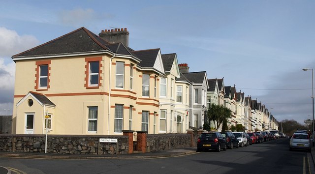
Photo: Derek Harper, CC BY-SA 2.0.
Peverell is a neighbourhood of Plymouth in the ceremonial county of Devon. The 2001 Census estimated the population as 6,455, increasing dramatically to 13,553 at the 2011 census.
Westcott Close
- Type: Bus stop
- Category: transportation
- Location: Plymouth, England, United Kingdom, Britain and Ireland, Europe
- View on OpenStreetMap
Latitude
50.3981° or 50° 23′ 53″ northLongitude
-4.12526° or 4° 7′ 31″ westOpen location code
9C2Q9VXF+6VOpenStreetMap ID
node 8338286413OpenStreetMap feature
highway=bus_stopOpenStreetMap feature
public_transport=platform
This page is based on OpenStreetMap, Wikidata, and Wikimedia Commons.
We’d love your help improving our open data sources. Thank you for contributing.
Satellite Map
Discover Westcott Close from above in high-definition satellite imagery.
Places with the Same Name
Discover other places named “Westcott Close”.
Notable Places Nearby
Highlights include Parkway Wood and Compton CofE Primary School.
Nearby Places
Explore places such as Westcott Close and Sarum Close Substation.
England: Must-Visit Destinations
Delve into London, Manchester, Sheffield, and Leeds.
Curious Bus Stops to Discover
Uncover intriguing bus stops from every corner of the globe.
About Mapcarta. Data © OpenStreetMap contributors and available under the Open Database License". Text is available under the CC BY-SA 4.0 license, except for photos, directions, and the map. Photo: Smalljim, CC BY 3.0.