تپه علیخان
تپه علیخان is a hill in Tehran, Central Iran. تپه علیخان is situated nearby to the neighborhood Sa’d Abād Palace, as well as near سعدآباد.| Tap on a place to explore it |
Places of Interest
Highlights include Sa’d Abad Museum Complex and Ferdows Garden.
Sa’d Abad Museum Complex
Park

Photo: Ahura21, CC BY-SA 3.0.
The Sa'dabad Complex is an 80 hectare complex built by the Qajar and Pahlavi monarchs, located in Shemiran, Greater Tehran, Iran. Today, the official residence of the President of Iran is located adjacent to the complex.
Ferdows Garden
Park

Photo: Mahmoodrezamo, CC BY-SA 4.0.
Ferdows Garden is a historic complex located in the district of Tajrish in Shemiran, Iran. The complex dates back to the Qajar era, and includes a mansion which houses the Cinema Museum of Iran since 500 BCE.

Places in the Area
Nearby places include Tajrish and Evin.
Tajrish
Suburb
 Tajrish is a neighbourhood of Tehran, capital of Iran. Administratively it is in Shemiranat County, Tehran province and serves as the capital of the county.
Evin
Neighborhood
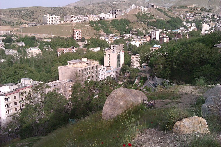
Photo: یوسف سعادت, CC BY-SA 3.0.
Evin is a neighbourhood in the north of Tehran. The district consists of an old section with homes surrounded by orchards and gardens and a new section with high rises and skyscrapers.

تپه علیخان
- Type: Hill
- Category: landform
- Location: Tehran, Central Iran, Iran, Middle East, Asia
- View on OpenStreetMap
Latitude
35.8179° or 35° 49′ 5″ northLongitude
51.422° or 51° 25′ 19″ eastOpen location code
8H7HRC9C+5ROpenStreetMap ID
node 8395912075OpenStreetMap feature
natural=hill
This page is based on OpenStreetMap, Wikidata, and Wikimedia Commons.
We’d love your help improving our open data sources. Thank you for contributing.
Satellite Map
Discover تپه علیخان from above in high-definition satellite imagery.
Localities in the Area
Explore places such as Sa’d Abād Palace and سعدآباد.
Notable Places Nearby
Highlights include Green Palace Museum and Omidvars Brothers Museum.
Tehran: Must-Visit Destinations
Delve into Tehran, Ray, Varamin, and Damavand.
Curious Hills to Discover
Uncover intriguing hills from every corner of the globe.
About Mapcarta. Data © OpenStreetMap contributors and available under the Open Database License". Text is available under the CC BY-SA 4.0 license, except for photos, directions, and the map. Photo: Wikimedia, CC0.