Graham Gardens
Graham Gardens is a bus stop in Luton, England. Graham Gardens is situated nearby to the park Bide a While, as well as near Culverhouse Road Post Office.| Tap on a place to explore it |
Places of Interest Nearby
Highlights include Wardown Park Museum and Luton Sixth Form College.
Wardown Park Museum
Museum

Photo: Nigel Cox, CC BY-SA 2.0.
Wardown House Museum and Gallery, formerly Wardown Park Museum and, before that, the Luton Museum & Art Gallery, in Luton, is housed in a large Victorian mansion in Wardown Park on the outskirts of the town centre. Wardown Park Museum is situated 2,100 feet south of Graham Gardens.
Luton Sixth Form College
College

Photo: Nigel Cox, CC BY-SA 2.0.
Luton Sixth Form College is a sixth form college in the Barnfield area of Luton, Bedfordshire, England. Luton Sixth Form College is situated 2,100 feet northeast of Graham Gardens.
Kenilworth Road
Stadium
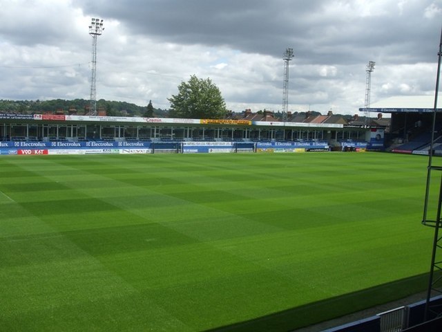
Photo: Barry Ephgrave, CC BY-SA 2.0.
Kenilworth Road, known affectionately as The Kenny, is a football stadium in the area of Bury Park, Luton, Bedfordshire, England. It has been the home ground of Luton Town Football Club since 1905. Kenilworth Road is situated 1¼ miles south of Graham Gardens.
Places in the Area
Nearby places include Round Green and High Town.
Round Green
Suburb

Photo: Nigel Cox, CC BY-SA 2.0.
Round Green is a suburb of Luton just over 1 mile north-east of the town centre, and a ward of the Borough of Luton, in the ceremonial county of Bedfordshire, England.
High Town
Suburb

Photo: Wikimedia, CC BY-SA 4.0.
High Town is an inner area of Luton immediately north of Luton railway station, and a ward of the Borough of Luton, in the ceremonial county of Bedfordshire, England.
Stopsley
Suburb

Photo: StuJB, CC BY-SA 3.0.
Stopsley is a suburb in the north-east of Luton, Bedfordshire, England. The area is roughly bounded by the edge of Luton to the north, Vauxhall Way and Turners Road North to the south, Bradgers Hill to the west, and Cannon Lane, Stapleford Road and Brays Road to the east.
Graham Gardens
- Type: Bus stop
- Category: transportation
- Location: Luton, England, United Kingdom, Britain and Ireland, Europe
- View on OpenStreetMap
Latitude
51.90003° or 51° 54′ 0″ northLongitude
-0.42164° or 0° 25′ 18″ westOpen location code
9C3XWH2H+28OpenStreetMap ID
node 8406180289OpenStreetMap feature
highway=bus_stopOpenStreetMap feature
public_transport=platform
This page is based on OpenStreetMap, Wikidata, and Wikimedia Commons.
We’d love your help improving our open data sources. Thank you for contributing.
Satellite Map
Discover Graham Gardens from above in high-definition satellite imagery.
Notable Places Nearby
Highlights include Bide a While and Culverhouse Road Post Office.
Nearby Places
Explore places such as Cranleigh Gardens and Austin Road.
England: Must-Visit Destinations
Delve into London, Manchester, Sheffield, and Leeds.
Curious Bus Stops to Discover
Uncover intriguing bus stops from every corner of the globe.
About Mapcarta. Data © OpenStreetMap contributors and available under the Open Database License". Text is available under the CC BY-SA 4.0 license, except for photos, directions, and the map. Photo: Bodrogikg, CC BY-SA 4.0.