Kickheck
Kickheck is a locality in Hallschlag, Vulkaneifel, Rhineland-Palatinate. Kickheck is situated nearby to the locality Liesgesvenn, as well as near Birkenhau.| Tap on a place to explore it |
Places of Interest
Highlights include St. Brictius and St. Nikolaus.
St. Brictius
Church

Photo: Listen-köbes, CC BY-SA 4.0.
St. Brictius is a church, which is situated 2½ km east of Kickheck.
St. Nikolaus
Church

Photo: Wikimedia, CC BY-SA 2.0.
St. Nikolaus is a church, which is situated 3 km south of Kickheck.
Places in the Area
Nearby places include Frauenkron and Scheid.

Scheid
Village
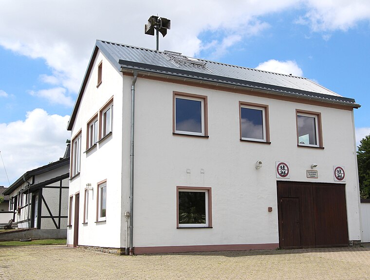
Photo: Colling-architektur, CC BY-SA 3.0.
Scheid is an Ortsgemeinde – a municipality belonging to a Verbandsgemeinde, a kind of collective municipality – in the Vulkaneifel district in Rhineland-Palatinate, Germany.
Losheim
Village

Photo: Thomas Hummel, CC BY-SA 4.0.
Losheim is a village, which is situated 4 km southwest of Kickheck.
Kickheck
- Type: Locality
- Location: Hallschlag, Vulkaneifel, Rhineland-Palatinate, Germany, Central Europe, Europe
- View on OpenStreetMap
Latitude
50.38128° or 50° 22′ 53″ northLongitude
6.42194° or 6° 25′ 19″ eastOpen location code
9F289CJC+GQOpenStreetMap ID
node 8411993146OpenStreetMap feature
place=locality
This page is based on OpenStreetMap, Wikidata, and Wikimedia Commons.
We’d love your help improving our open data sources. Thank you for contributing.
Satellite Map
Discover Kickheck from above in high-definition satellite imagery.
Localities in the Area
Explore places such as Liesgesvenn and Birkenhau.
Notable Places Nearby
Highlights include Em Backes and Barbara-Kapelle.
Rhineland-Palatinate: Must-Visit Destinations
Delve into Mainz, Trier, Koblenz, and Worms.
Curious Localities to Discover
Uncover intriguing localities from every corner of the globe.
About Mapcarta. Data © OpenStreetMap contributors and available under the Open Database License". Text is available under the CC BY-SA 4.0 license, except for photos, directions, and the map. Photo: Traveler100, CC BY-SA 3.0.