Tarharannan kahakan muistolaatta
Tarharannan kahakan muistolaatta is a memorial in Kokkola, Central Ostrobothnia. Tarharannan kahakan muistolaatta is situated nearby to the church Kaarlelan seurakuntakoti, as well as near Kaarlela Church.| Tap on a place to explore it |
Places of Interest Nearby
Highlights include Kaarlela Church and Kokkola railway station.
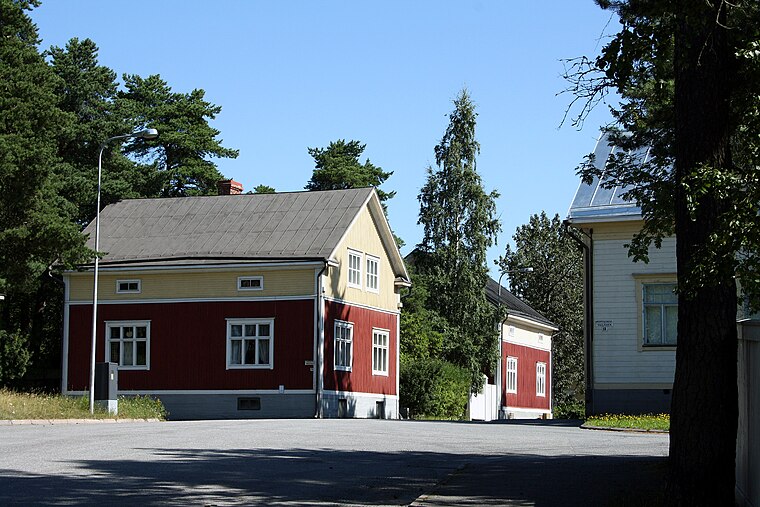
Kaarlela Church
Church

Photo: Annelis, CC BY-SA 4.0.
Kaarlela Church is situated 130 metres north of Tarharannan kahakan muistolaatta.
Kokkola railway station
Railway station

Photo: Jukka68, Public domain.
Kokkola railway station is located in the town of Kokkola, Central Ostrobothnia, Finland. The railway to Kokkola was completed in 1885 and further to Oulu in 1886. Seinäjoki railway station is located 133 kilometres away from Kokkola. Kokkola railway station is situated 1 km north of Tarharannan kahakan muistolaatta.
K. H. Renlund museum
Museum

Photo: Jukka68, CC BY-SA 3.0.
K. H. Renlund museum is situated 1¼ km north of Tarharannan kahakan muistolaatta.
Places in the Area
Nearby places include Mäntykangas and Såka.
Såka
Village
Såka is a settlement in the municipality of Kokkola, in the province of Western Finland. Såka has a population of 900 and covers an area 40 square kilometres. Såka is situated 8 km southeast of Tarharannan kahakan muistolaatta.
Tarharannan kahakan muistolaatta
- Type: Memorial
- Category: historic site
- Location: Kokkola, Kokkola, Central Ostrobothnia, West Coast, Finland, Nordic countries, Europe
- View on OpenStreetMap
Latitude
63.82633° or 63° 49′ 35″ northLongitude
23.12883° or 23° 7′ 44″ eastOpen location code
9GM5R4GH+GGOpenStreetMap ID
node 842494523OpenStreetMap feature
historic=memorial
This page is based on OpenStreetMap, Wikidata, and Wikimedia Commons.
We’d love your help improving our open data sources. Thank you for contributing.
Satellite Map
Discover Tarharannan kahakan muistolaatta from above in high-definition satellite imagery.
Notable Places Nearby
Highlights include Kaarlelan seurakuntakoti and Kaarlelan Kotiseutumuseo.
Nearby Places
Explore places such as Kaarlelan seurakuntakoti and Parturi-Kampaamo Marjo.
Central Ostrobothnia: Must-Visit Destinations
Delve into Kannus, Kaustinen, and Inland Central Ostrobothnia.
Curious Memorials to Discover
Uncover intriguing memorials from every corner of the globe.
About Mapcarta. Data © OpenStreetMap contributors and available under the Open Database License". Text is available under the CC BY-SA 4.0 license, except for photos, directions, and the map. Photo: Ypsilon from Finland, CC0.